UN/LOCODE hub · United States
USQFC
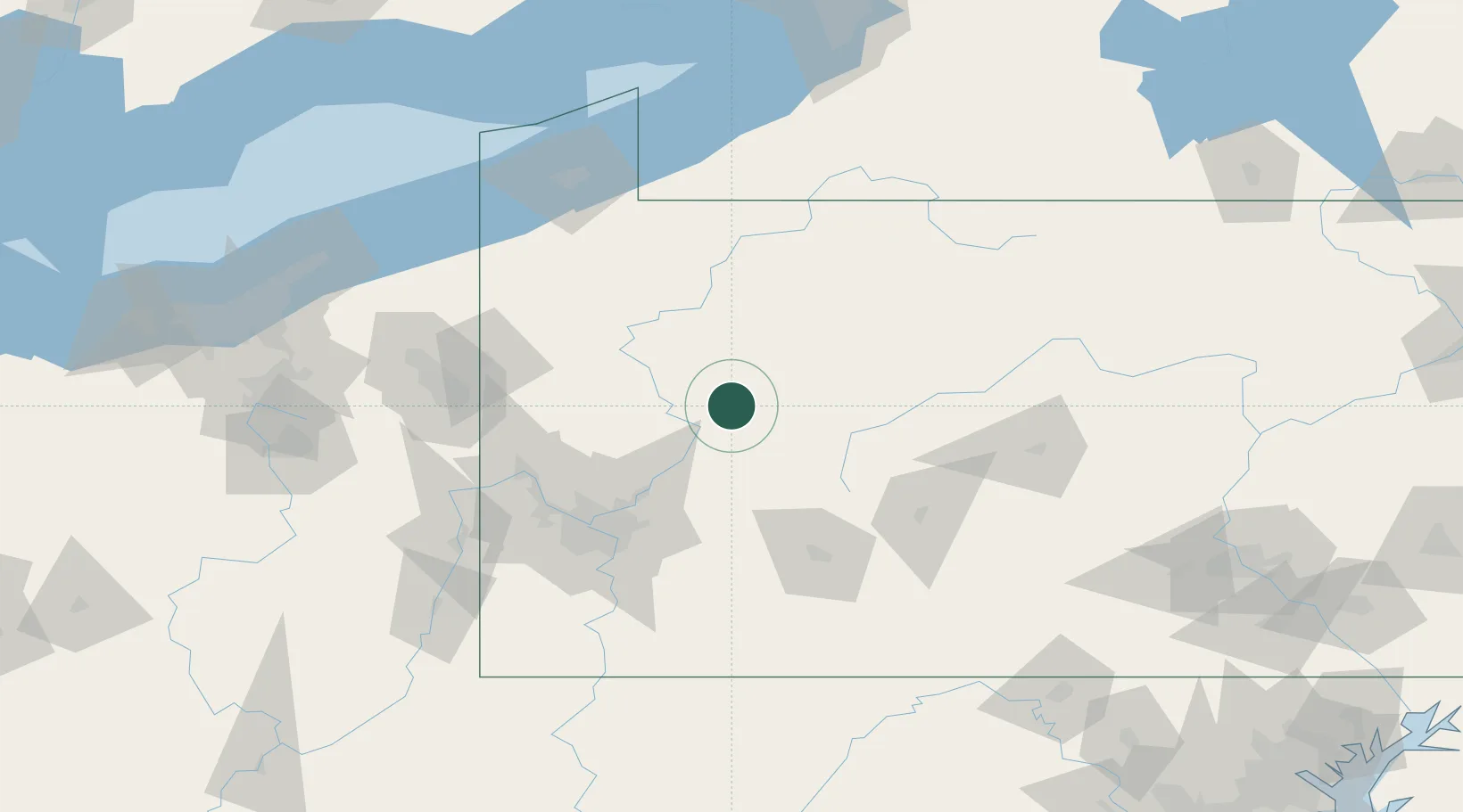
Fairmont City
41.0167°, -79.3167°
2,502
Population
4
Transport functions
Transport Functions
Port
Rail
Road
Multimodal
Hub Profile
Place type
Populated place
Region
Illinois
Population
2,502
Time zone
America/Chicago
Elevation
128 m
Location
Nearby Logistics Neighbours
Cities
- 1New Bethlehem2 km
- 2Hawthorn4 km
- 3Adrian24 km
- 4Shippenville29 km
- 5Punxsutawney31 km
Airports
Trade Zones
- 1FTZ No. 295 Central Pennsylvania51 km
- 2FTZ No. 254 Jefferson County67 km
- 3FTZ No. 033 Pittsburgh90 km
- 4FTZ No. 247 Erie139 km
- 5FTZ No. 181 Akron Canton204 km
DatabookThe Record of Consolidated Knowledge
United States beyond logistics?