UN/LOCODE hub · United States
USPXW
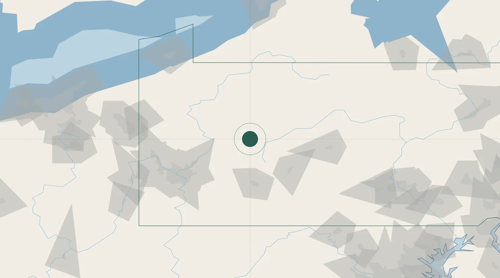
Punxsutawney
40.9333°, -78.9667°
5,861
Population
2
Transport functions
Transport Functions
Rail
Road
Hub Profile
Place type
Populated place
Region
Pennsylvania
Population
5,861
Time zone
America/New_York
Elevation
374 m
Location
Nearby Logistics Neighbours
Cities
- 1Reynoldsville18 km
- 2Middleton20 km
- 3Hawthorn27 km
- 4Cherry Tree28 km
- 5New Bethlehem30 km
Airports
Trade Zones
- 1FTZ No. 295 Central Pennsylvania28 km
- 2FTZ No. 254 Jefferson County59 km
- 3FTZ No. 033 Pittsburgh107 km
- 4FTZ No. 247 Erie162 km
- 5FTZ No. 240 Martinsburg183 km
DatabookThe Record of Consolidated Knowledge
United States beyond logistics?