Transport Functions
Multimodal
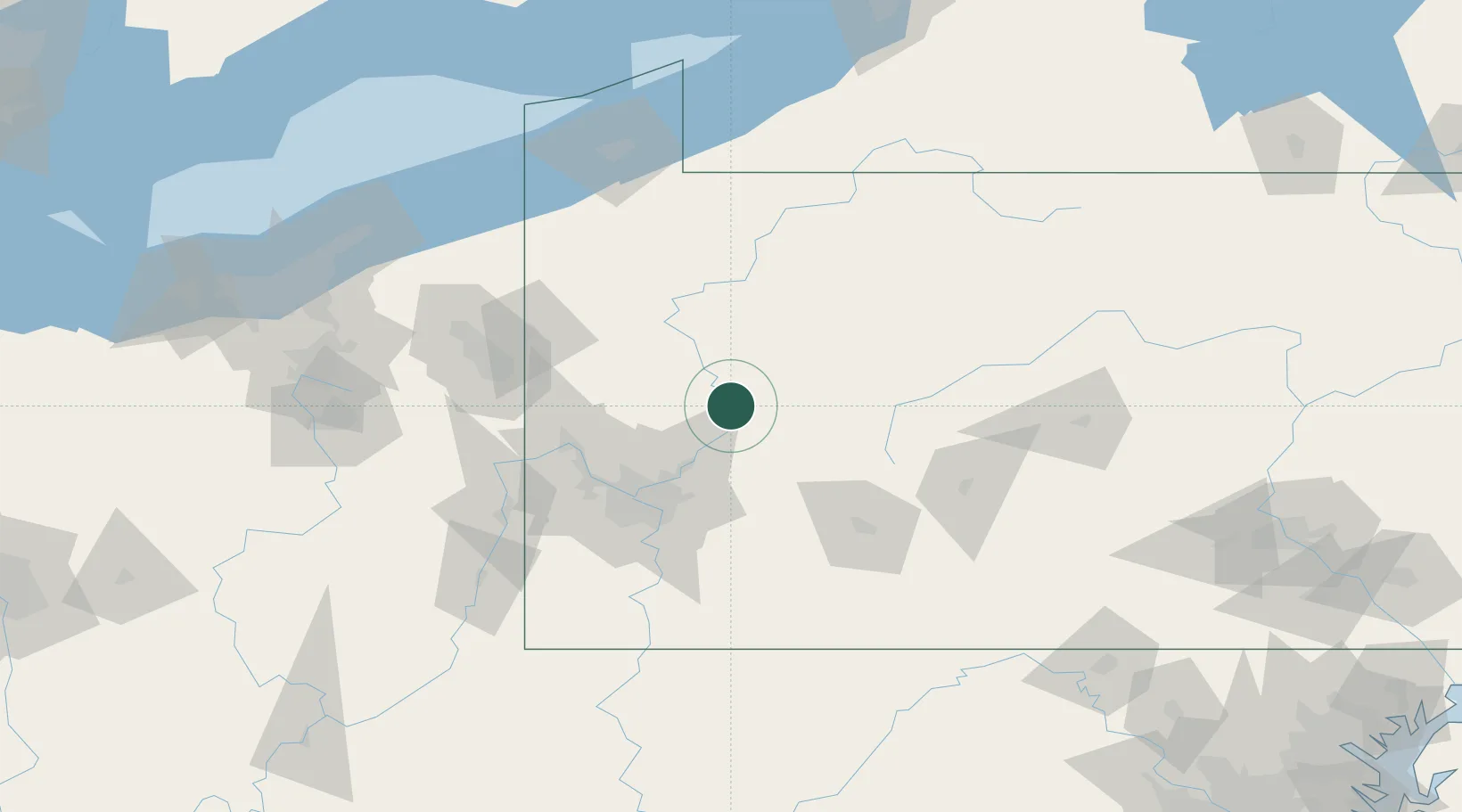
Hub Profile
Place type
Populated place
Region
Pennsylvania
Time zone
America/New_York
Elevation
321 m
Location
Nearby Logistics Neighbours
Cities
- 1Worthington10 km
- 2New Bethlehem22 km
- 3Buena Vista23 km
- 4Fairmont City24 km
- 5Sarver25 km
Airports
Trade Zones
- 1FTZ No. 033 Pittsburgh67 km
- 2FTZ No. 295 Central Pennsylvania72 km
- 3FTZ No. 254 Jefferson County90 km
- 4FTZ No. 247 Erie145 km
- 5FTZ No. 181 Akron Canton186 km
DatabookThe Record of Consolidated Knowledge
United States beyond logistics?