UN/LOCODE hub · United States
USQDY
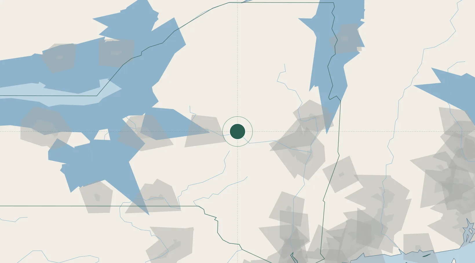
Dolgeville
43.1000°, -74.7667°
2,132
Population
3
Transport functions
Transport Functions
Port
Road
Multimodal
Hub Profile
Place type
Populated place
Region
New York
Population
2,132
Time zone
America/New_York
Elevation
241 m
Location
Nearby Logistics Neighbours
Cities
- 1Manheim Center8 km
- 2Little Falls10 km
- 3Stratford11 km
- 4Saint Johnsville13 km
- 5Palatine Bridge26 km
Ports
- 1Troy96 km
- 2Albany97 km
- 3Rensselaer97 km
- 4Catskill124 km
- 5Kingston145 km
Airports
Trade Zones
- 1FTZ No. 121 Albany88 km
- 2FTZ No. 172 Oneida County104 km
- 3FTZ No. 109 Watertown134 km
- 4FTZ No. 090 Onondaga150 km
- 5FTZ No. 268 Brattleboro178 km
DatabookThe Record of Consolidated Knowledge
United States beyond logistics?