UN/LOCODE hub · United States
USAHG

Stratford

43.1833°, -74.7000°
2
Transport functions

Transport Functions

Road
Multimodal
UN/LOCODE

Hub Profile

Place type
Populated place
GeoNames
Region
New York
GeoNames
Time zone
America/New_York
GeoNames
Elevation
325 m
GeoNames

Location

Location of USAHG
Natural Earth 10m (public domain) · New York · USAHG · 43.18, -74.70GoogleOSMYandex

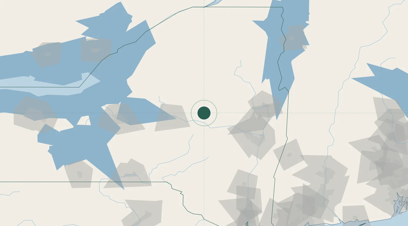
Nearby Logistics Neighbours

Cities
  1. 1Dolgeville11 km
  2. 2Manheim Center18 km
  3. 3Saint Johnsville20 km
  4. 4Little Falls21 km
  5. 5Palatine Bridge32 km
Nearest neighbours — logibook spatial index (haversine) over the source coordinates
Ports
  1. 1Troy96 km
  2. 2Albany98 km
  3. 3Rensselaer98 km
  4. 4Catskill128 km
  5. 5Oswego150 km
Nearest neighbours — logibook spatial index (haversine) over the source coordinates
Airports
  1. 1Griffiss International Airport58 km
  2. 2Schenectady County Airport73 km
  3. 3Albany International Airport88 km
  4. 4Floyd Bennett Memorial Airport90 km
  5. 5Syracuse Hancock International Airport114 km
Nearest neighbours — logibook spatial index (haversine) over the source coordinates
Trade Zones
  1. 1FTZ No. 121 Albany89 km
  2. 2FTZ No. 172 Oneida County109 km
  3. 3FTZ No. 109 Watertown131 km
  4. 4FTZ No. 090 Onondaga153 km
  5. 5FTZ No. 268 Brattleboro174 km
Nearest neighbours — logibook spatial index (haversine) over the source coordinates
DatabookThe Record of Consolidated Knowledge
United States beyond logistics?
Browse databook

All Sources

LocationsUN/LOCODE
UN/LOCODE — free
Portsthe NGA World Port Index
Public domain (US gov)
AirportsOurAirports
Public domain
Trade Zonesthe World Bank SEZ database
CC BY 4.0
Trade ZonesOpen Zone Map
CC BY
← United States locations