UN/LOCODE hub · United States
USLLF
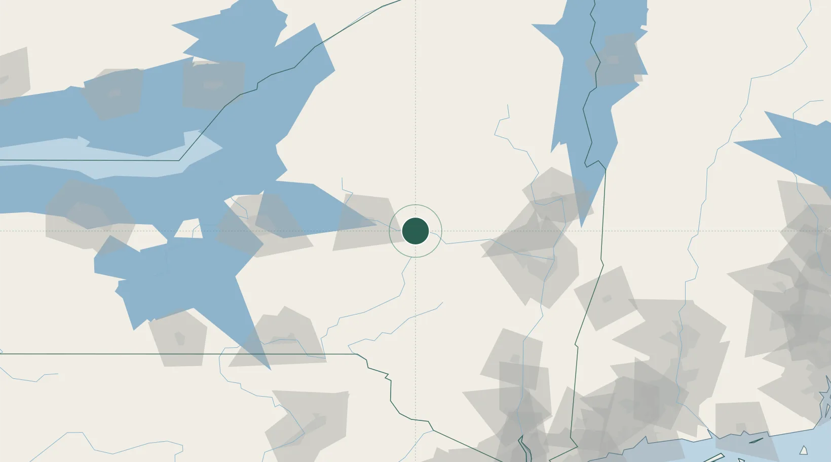
Little Falls
43.0333°, -74.8500°
4,787
Population
3
Transport functions
Transport Functions
Rail
Road
Multimodal
Hub Profile
Place type
Populated place
Region
New York
Population
4,787
Time zone
America/New_York
Elevation
128 m
Location
Nearby Logistics Neighbours
Cities
- 1Manheim Center5 km
- 2Dolgeville10 km
- 3Saint Johnsville14 km
- 4Stratford21 km
- 5Palatine Bridge27 km
Ports
- 1Albany99 km
- 2Rensselaer99 km
- 3Troy100 km
- 4Catskill122 km
- 5Kingston142 km
Airports
Trade Zones
- 1FTZ No. 121 Albany91 km
- 2FTZ No. 172 Oneida County99 km
- 3FTZ No. 109 Watertown136 km
- 4FTZ No. 090 Onondaga145 km
- 5FTZ No. 037 Orange County183 km
DatabookThe Record of Consolidated Knowledge
United States beyond logistics?