Transport Functions
Road
Multimodal
Hub Profile
Place type
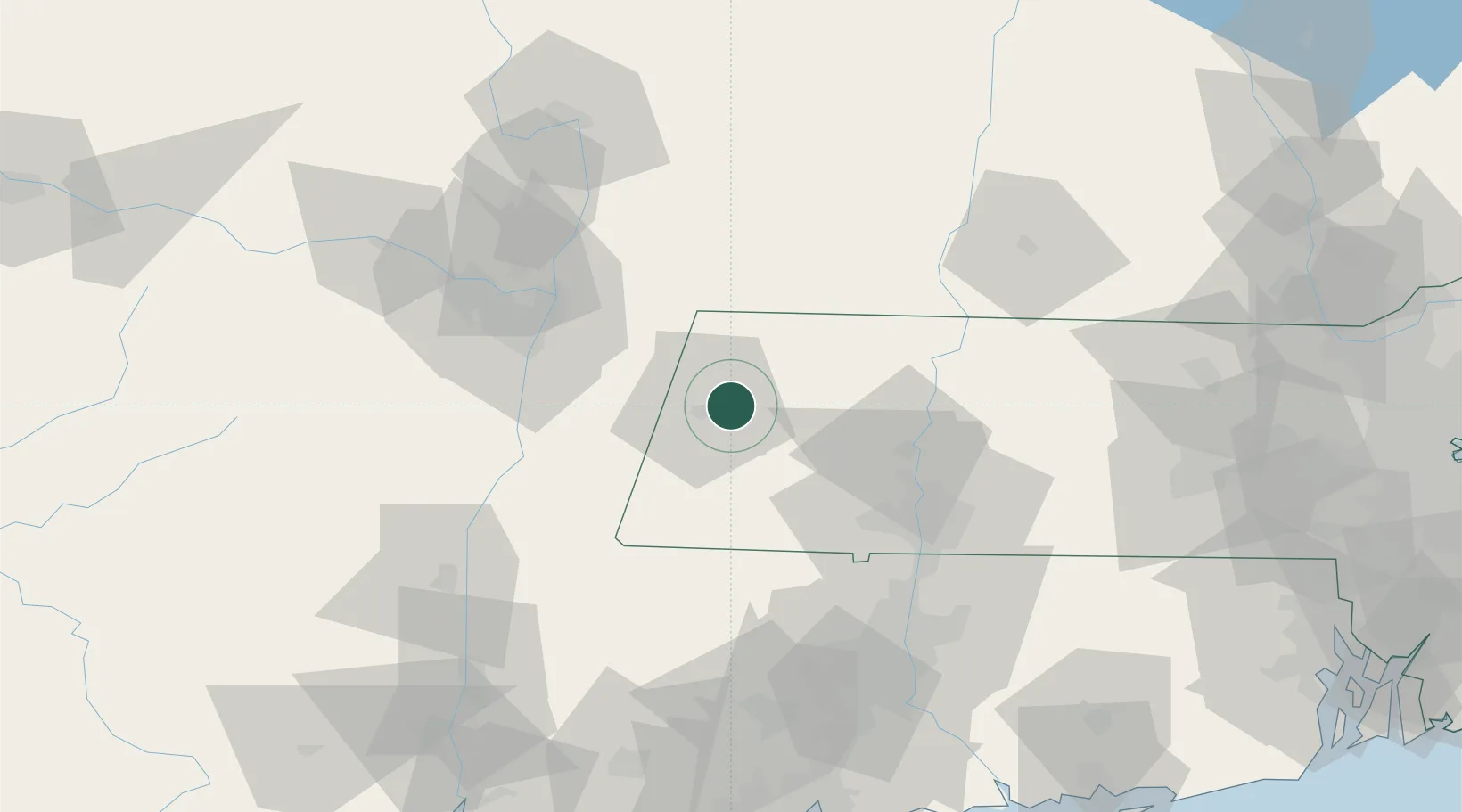
Populated place
Region
Massachusetts
Population
7,012
Time zone
America/New_York
Elevation
348 m
Location
Nearby Logistics Neighbours
Cities
- 1Lenox Dale16 km
- 2Stephentown18 km
- 3Garfield19 km
- 4Pownal34 km
- 5Nassau36 km
Ports
- 1Albany52 km
- 2Rensselaer52 km
- 3Troy53 km
- 4Catskill63 km
- 5Kingston89 km
Airports
Trade Zones
- 1FTZ No. 201 Holyoke46 km
- 2FTZ No. 121 Albany60 km
- 3FTZ No. 268 Brattleboro64 km
- 4FTZ No. 071 Windsor Locks74 km
- 5FTZ No. 162 New Haven131 km
DatabookThe Record of Consolidated Knowledge
United States beyond logistics?