UN/LOCODE hub · United States
USPM8
Pilot Mountain
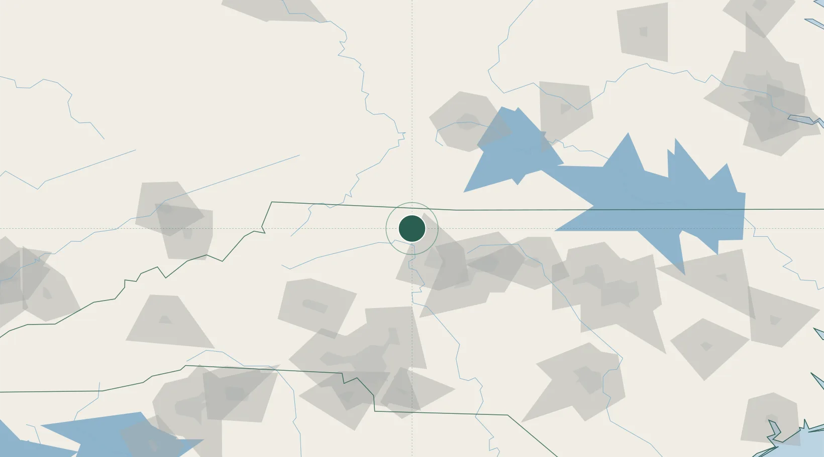
36.3833°, -80.4667°
1,465
Population
2
Transport functions
Transport Functions
Port
Multimodal
Hub Profile
Place type
Populated place
Region
North Carolina
Population
1,465
Time zone
America/New_York
Elevation
352 m
Location
Nearby Logistics Neighbours
Cities
- 1Pinnacle8 km
- 2East Bend21 km
- 3Dobson23 km
- 4Jonesville37 km
- 5Belews Creek40 km
Ports
- 1Richmond300 km
- 2Washington321 km
- 3Wilmington331 km
- 4Plymouth339 km
- 5New Bern340 km
Airports
Trade Zones
- 1FTZ No. 230 Piedmont Triad Area36 km
- 2FTZ No. 238 Dublin82 km
- 3FTZ No. 057 Mecklenburg County137 km
- 4FTZ No. 093 Raleigh Durham150 km
- 5FTZ No. 204 Tri-Cities174 km
DatabookThe Record of Consolidated Knowledge
United States beyond logistics?