UN/LOCODE hub · United States
USLC2
Loup City
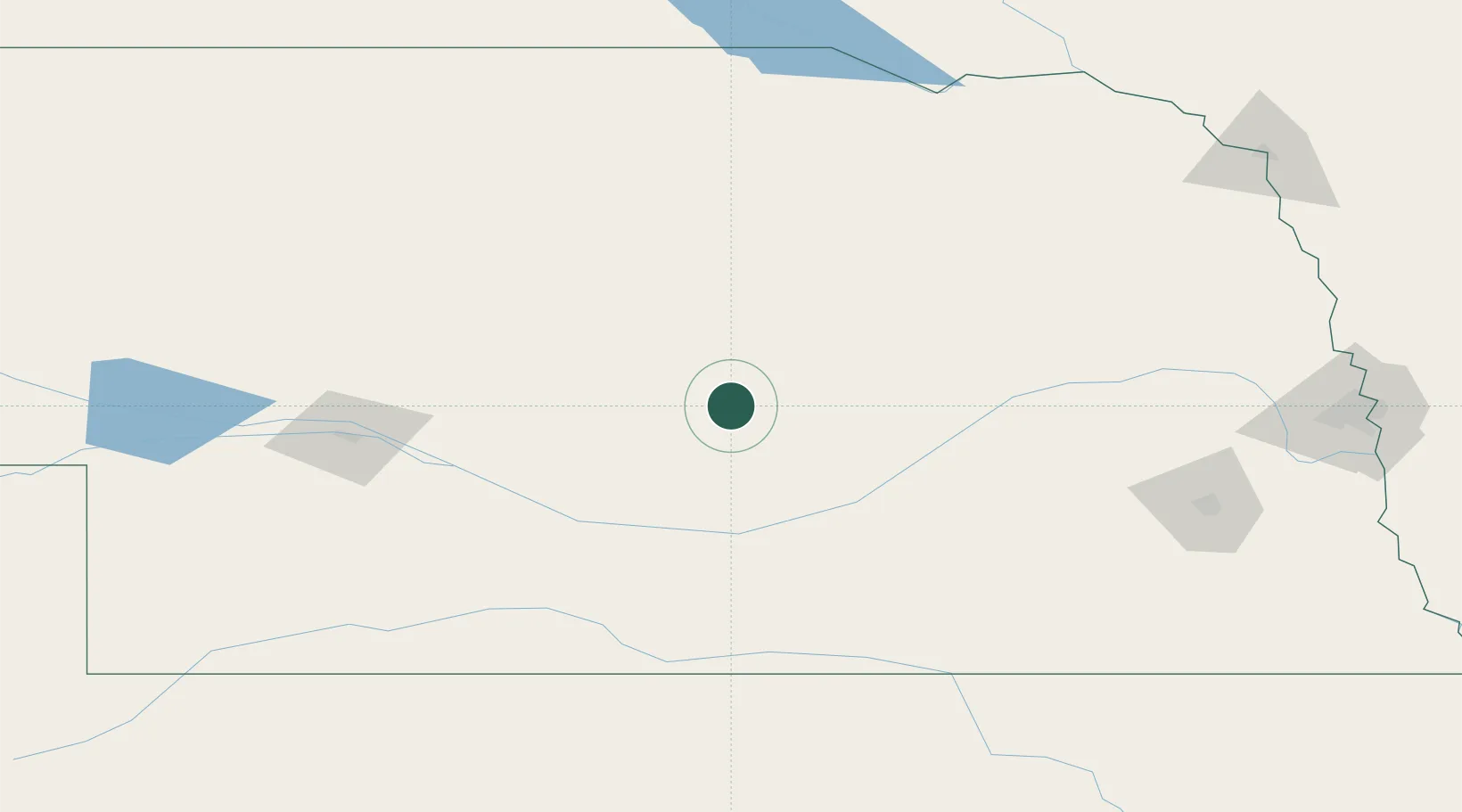
41.2833°, -98.9667°
1,012
Population
3
Transport functions
Transport Functions
Port
Rail
Road
Hub Profile
Place type
Provincial seat
Region
Nebraska
Population
1,012
Time zone
America/Chicago
Elevation
632 m
Location
Nearby Logistics Neighbours
Cities
- 1Odessa69 km
- 2Bartlett75 km
- 3Minden87 km
- 4Petersburg97 km
- 5Cozad98 km
Ports
- 1Superior819 km
- 2Duluth820 km
- 3Two Harbors864 km
- 4Ashland877 km
- 5Washburn881 km
Airports
Trade Zones
- 1FTZ No. 059 Lincoln187 km
- 2FTZ No. 133 Quad-Cities, Iowa Illinois256 km
- 3FTZ No. 220 Sioux Falls309 km
- 4FTZ No. 288 Northwest Iowa317 km
- 5FTZ No. 161 Sedgwick County412 km
DatabookThe Record of Consolidated Knowledge
United States beyond logistics?