UN/LOCODE hub · United States
USQBX

Bristol

41.6833°, -88.4167°
2
Transport functions

Transport Functions

Road
Multimodal
UN/LOCODE

Hub Profile

Place type
Populated place
GeoNames
Region
Illinois
GeoNames
Time zone
America/Chicago
GeoNames
Elevation
195 m
GeoNames

Location

Location of USQBX
Natural Earth 10m (public domain) · Illinois · USQBX · 41.68, -88.42GoogleOSMYandex

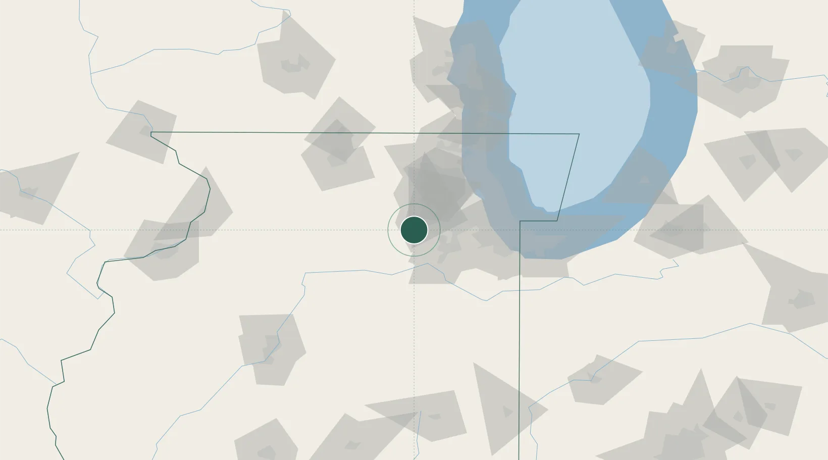
Nearby Logistics Neighbours

Cities
  1. 1Sugar Grove8 km
  2. 2Elburn22 km
  3. 3Crest Hill30 km
  4. 4Virgil31 km
  5. 5Serena33 km
Nearest neighbours — logibook spatial index (haversine) over the source coordinates
Ports
  1. 1Chicago71 km
  2. 2Calumet Harbor75 km
  3. 3Wilmette75 km
  4. 4Indiana Harbor82 km
  5. 5Great Lakes84 km
Nearest neighbours — logibook spatial index (haversine) over the source coordinates
Airports
  1. 1Dupage Airport29 km
  2. 2Chicago O'Hare International Airport54 km
  3. 3Chicago Midway International Airport56 km
  4. 4Chicago Executive Airport64 km
  5. 5Chicago Rockford International Airport80 km
Nearest neighbours — logibook spatial index (haversine) over the source coordinates
Trade Zones
  1. 1FTZ No. 022 Chicago48 km
  2. 2FTZ No. 292 Lake County83 km
  3. 3FTZ No. 176 Rockford91 km
  4. 4FTZ No. 152 Burns Harbor105 km
  5. 5FTZ No. 114 Peoria147 km
Nearest neighbours — logibook spatial index (haversine) over the source coordinates
DatabookThe Record of Consolidated Knowledge
United States beyond logistics?
Browse databook

All Sources

LocationsUN/LOCODE
UN/LOCODE — free
Portsthe NGA World Port Index
Public domain (US gov)
AirportsOurAirports
Public domain
Trade Zonesthe World Bank SEZ database
CC BY 4.0
Trade ZonesOpen Zone Map
CC BY
← United States locations