UN/LOCODE hub · United States
USS2G
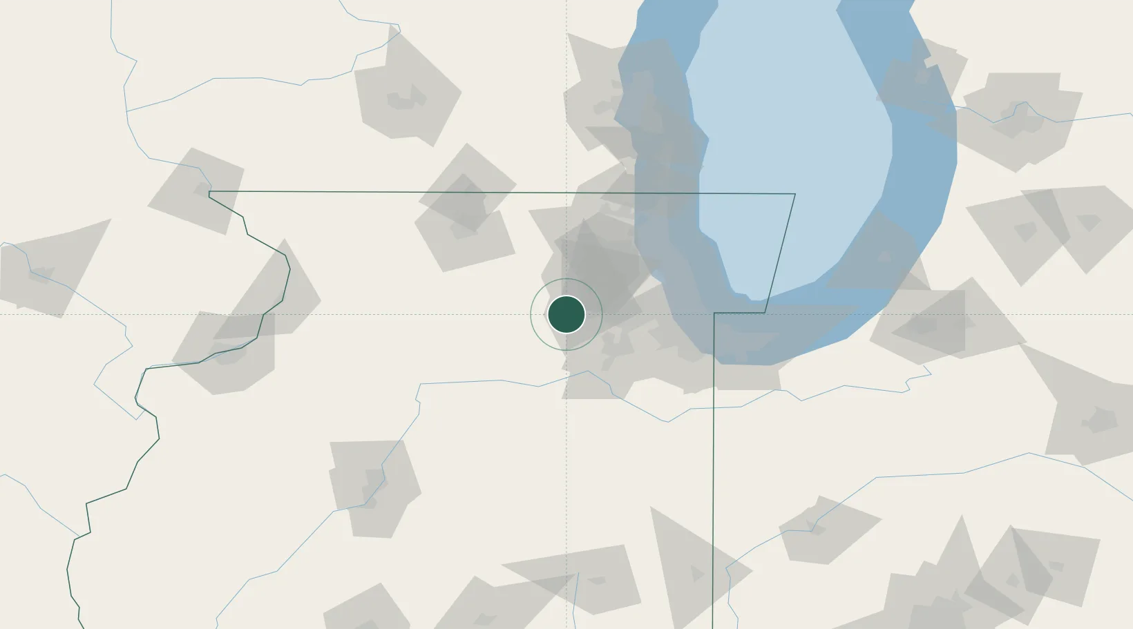
Sugar Grove
41.7500°, -88.4333°
9,512
Population
2
Transport functions
Transport Functions
Rail
Road
Hub Profile
Place type
Populated place
Region
Illinois
Population
9,512
Time zone
America/Chicago
Elevation
219 m
Location
Nearby Logistics Neighbours
Cities
- 1Bristol8 km
- 2Elburn15 km
- 3Virgil24 km
- 4Cortland28 km
- 5South Elgin28 km
Ports
- 1Chicago71 km
- 2Wilmette72 km
- 3Calumet Harbor76 km
- 4Great Lakes79 km
- 5Indiana Harbor84 km
Airports
Trade Zones
- 1FTZ No. 022 Chicago48 km
- 2FTZ No. 292 Lake County78 km
- 3FTZ No. 176 Rockford85 km
- 4FTZ No. 152 Burns Harbor107 km
- 5FTZ No. 041 Milwaukee148 km
DatabookThe Record of Consolidated Knowledge
United States beyond logistics?