UN/LOCODE hub · United States
USCH5
Crest Hill
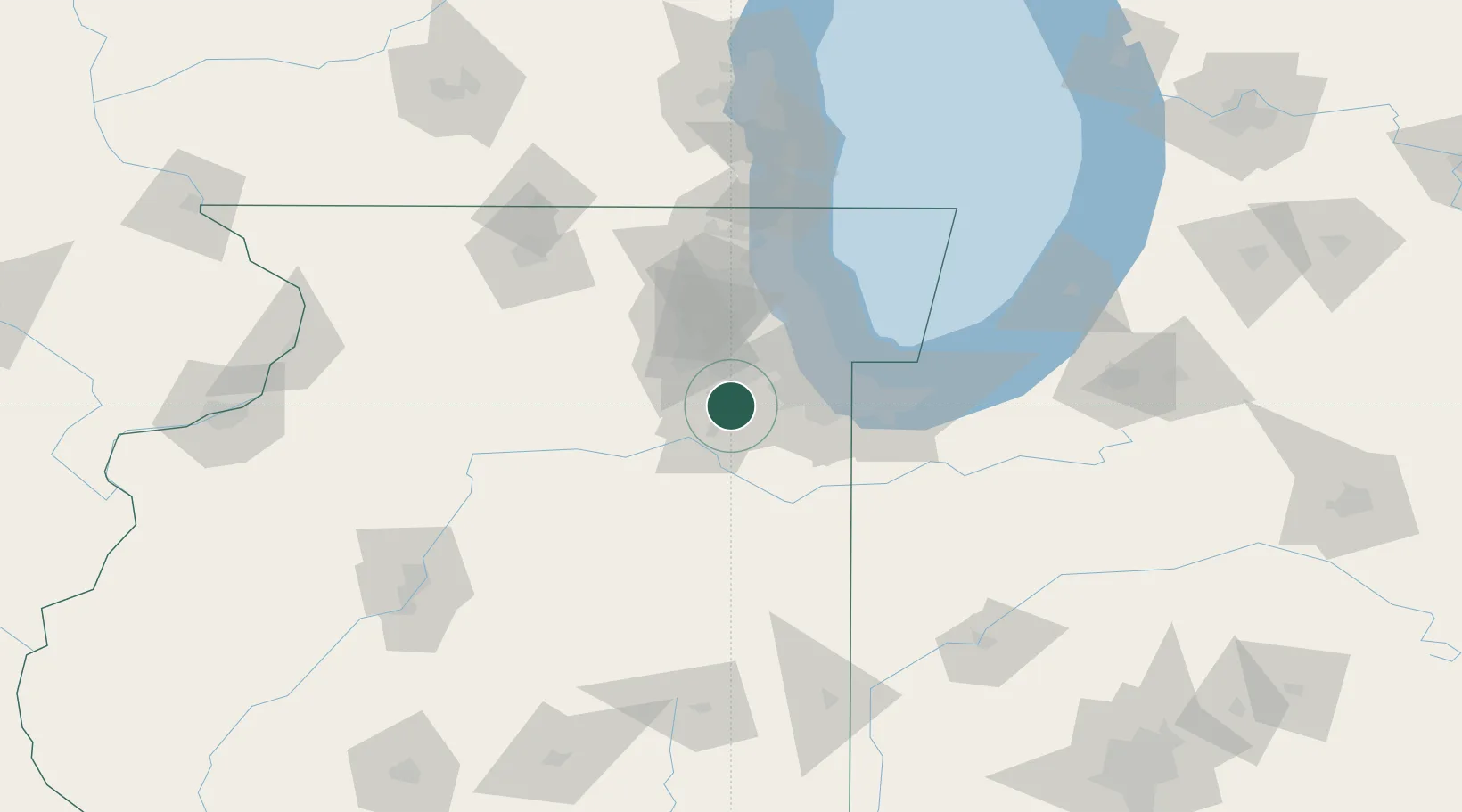
41.5500°, -88.1000°
21,153
Population
2
Transport functions
Transport Functions
Rail
Road
Hub Profile
Place type
Populated place
Region
Illinois
Population
21,153
Time zone
America/Chicago
Elevation
196 m
Location
Nearby Logistics Neighbours
Cities
- 1Fairmont, Will4 km
- 2New Lenox10 km
- 3Millsdale14 km
- 4Frankfort22 km
- 5Mokena23 km
Ports
- 1Calumet Harbor53 km
- 2Chicago56 km
- 3Indiana Harbor57 km
- 4Gary64 km
- 5Wilmette69 km
Airports
Trade Zones
- 1FTZ No. 022 Chicago37 km
- 2FTZ No. 152 Burns Harbor79 km
- 3FTZ No. 292 Lake County88 km
- 4FTZ No. 176 Rockford121 km
- 5FTZ No. 125 South Bend147 km
DatabookThe Record of Consolidated Knowledge
United States beyond logistics?