Transport Functions
Rail
Road
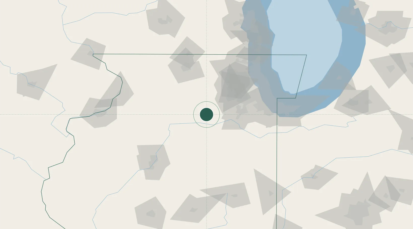
Hub Profile
Place type
Populated place
Region
Illinois
Time zone
America/Chicago
Elevation
193 m
Logistics facilities
3
Location
Nearby Logistics Neighbours
Cities
- 1Wedron7 km
- 2Marseilles19 km
- 3Troy Grove31 km
- 4Bristol33 km
- 5Oglesby36 km
Ports
- 1Chicago103 km
- 2Calumet Harbor104 km
- 3Wilmette109 km
- 4Indiana Harbor109 km
- 5Gary116 km
Airports
Trade Zones
- 1FTZ No. 022 Chicago80 km
- 2FTZ No. 176 Rockford95 km
- 3FTZ No. 114 Peoria114 km
- 4FTZ No. 292 Lake County116 km
- 5FTZ No. 152 Burns Harbor131 km
DatabookThe Record of Consolidated Knowledge
United States beyond logistics?