UN/LOCODE hub · United States
USAUA
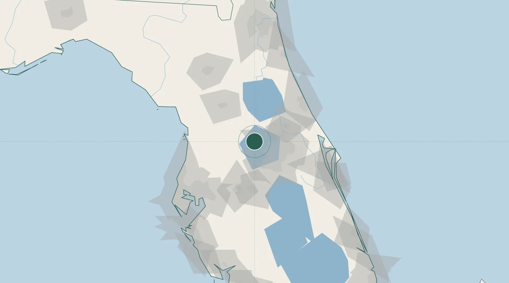
Astatula
28.7000°, -81.7167°
1,917
Population
2
Transport functions
Transport Functions
Rail
Road
Hub Profile
Place type
Populated place
Region
Florida
Population
1,917
Time zone
America/New_York
Elevation
29 m
Location
Nearby Logistics Neighbours
Ports
- 1Canaveral Harbor107 km
- 2Tampa113 km
- 3Tarpon Springs120 km
- 4Sankt-Peterburg136 km
- 5St Augustine139 km
Airports
Trade Zones
- 1FTZ No. 042 Orlando32 km
- 2FTZ No. 250 Seminole County35 km
- 3FTZ No. 198 Volusia County44 km
- 4FTZ No. 136 Brevard County64 km
- 5FTZ No. 079 Tampa110 km
DatabookThe Record of Consolidated Knowledge
United States beyond logistics?