UN/LOCODE hub · United States
USPUR
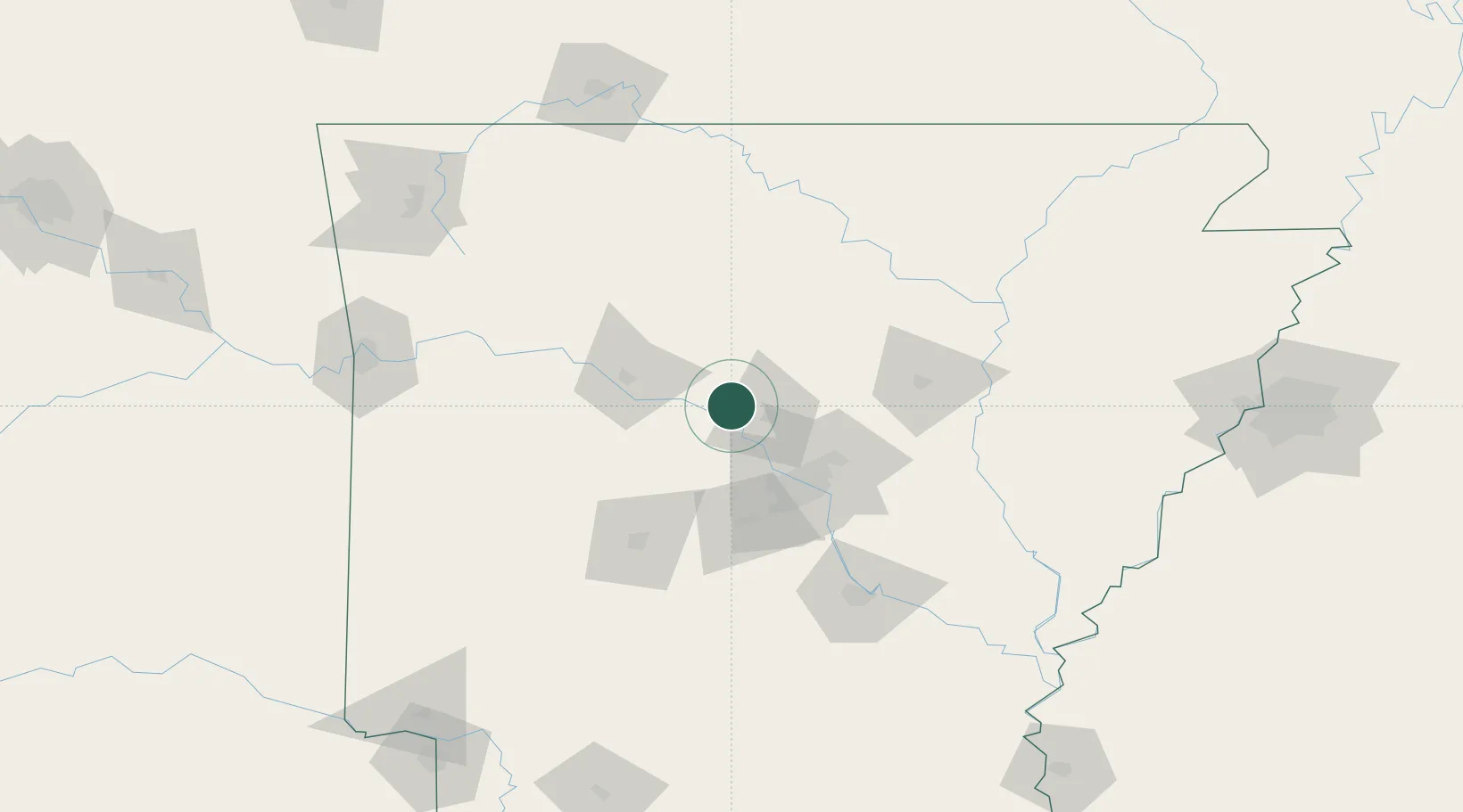
Plumerville
35.1500°, -92.6333°
805
Population
3
Transport functions
Transport Functions
Rail
Road
Multimodal
Hub Profile
Place type
Populated place
Region
Arkansas
Population
805
Time zone
America/Chicago
Elevation
91 m
Location
Nearby Logistics Neighbours
Cities
- 1Bigelow17 km
- 2Damascus32 km
- 3Guy33 km
- 4Phoenix Township45 km
- 5Sherwood54 km
Ports
- 1Port Of Memphis225 km
- 2Baton Rouge540 km
- 3Lake Charles552 km
- 4Orange573 km
- 5Madisonville577 km
Airports
Trade Zones
- 1FTZ No. 014 Little Rock63 km
- 2FTZ No. 287 Tunica County187 km
- 3FTZ No. 077 Memphis217 km
- 4FTZ No. 273 West Memphis222 km
- 5FTZ No. 223 Memphis229 km
DatabookThe Record of Consolidated Knowledge
United States beyond logistics?