Transport Functions
Port
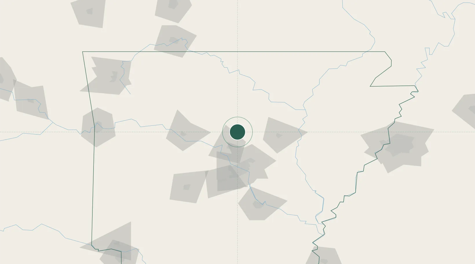
Hub Profile
Place type
Populated place
Region
Arkansas
Population
718
Time zone
America/Chicago
Elevation
207 m
Location
Nearby Logistics Neighbours
Cities
- 1Damascus8 km
- 2Plumerville33 km
- 3Bigelow44 km
- 4Cabot48 km
- 5Ward48 km
Ports
- 1Port Of Memphis199 km
- 2Baton Rouge552 km
- 3Lake Charles574 km
- 4Madisonville584 km
- 5Orange597 km
Airports
Trade Zones
- 1FTZ No. 014 Little Rock68 km
- 2FTZ No. 287 Tunica County168 km
- 3FTZ No. 077 Memphis190 km
- 4FTZ No. 273 West Memphis196 km
- 5FTZ No. 223 Memphis203 km
DatabookThe Record of Consolidated Knowledge
United States beyond logistics?