Transport Functions
Port
Rail
Road
Hub Profile
Place type
Populated place
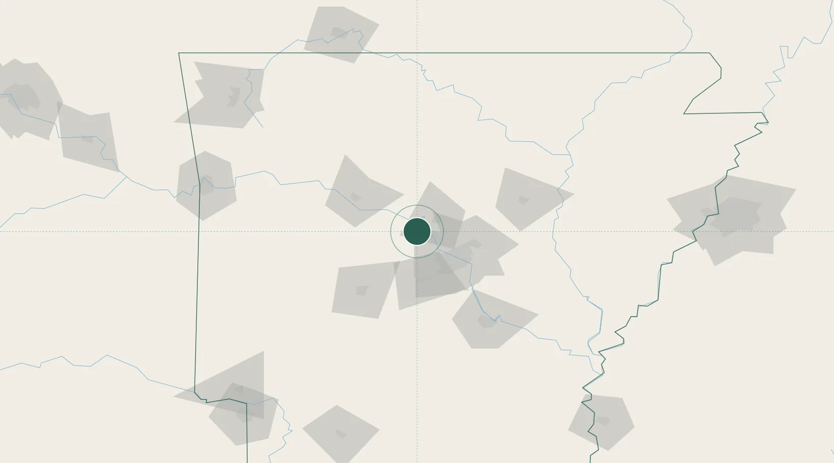
Region
Arkansas
Population
308
Time zone
America/Chicago
Elevation
92 m
Location
Nearby Logistics Neighbours
Cities
- 1Plumerville17 km
- 2Sherwood43 km
- 3Guy44 km
- 4Mabelvale44 km
- 5Damascus45 km
Ports
- 1Port Of Memphis223 km
- 2Baton Rouge523 km
- 3Lake Charles535 km
- 4Orange557 km
- 5Madisonville561 km
Airports
Trade Zones
- 1FTZ No. 014 Little Rock50 km
- 2FTZ No. 287 Tunica County181 km
- 3FTZ No. 077 Memphis216 km
- 4FTZ No. 273 West Memphis221 km
- 5FTZ No. 223 Memphis229 km
DatabookThe Record of Consolidated Knowledge
United States beyond logistics?