UN/LOCODE hub · United States
USPV7
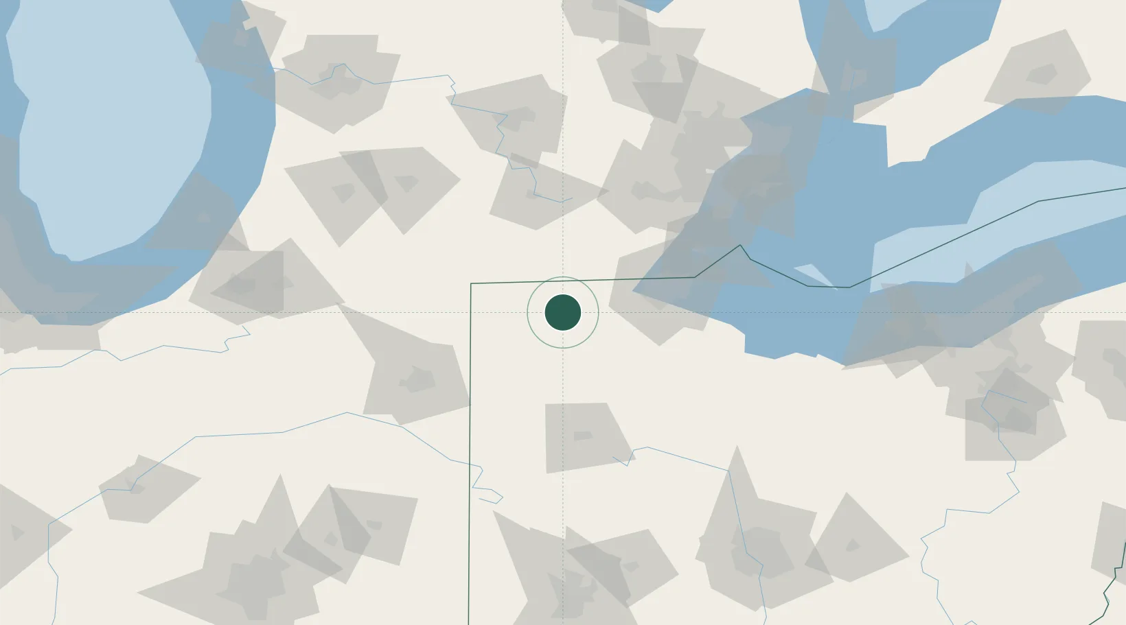
Pettisville
41.5167°, -84.2333°
498
Population
2
Transport functions
Transport Functions
Road
Multimodal
Hub Profile
Place type
Populated place
Region
Ohio
Population
498
Time zone
America/New_York
Elevation
231 m
Location
Nearby Logistics Neighbours
Cities
- 1Stryker14 km
- 2Okolona19 km
- 3Delta20 km
- 4Alvordton22 km
- 5West Jefferson, Williams27 km
Ports
- 1Toledo67 km
- 2Monroe85 km
- 3Port Clinton108 km
- 4Trenton112 km
- 5Amherstburg114 km
Airports
Trade Zones
- 1FTZ No. 008 Toledo60 km
- 2FTZ No. 151 Findlay69 km
- 3FTZ No. 182 Fort Wayne101 km
- 4FTZ No. 070 Detroit124 km
- 5FTZ No. 043 Battle Creek126 km
DatabookThe Record of Consolidated Knowledge
United States beyond logistics?