Transport Functions
Rail
Road
Multimodal
Hub Profile
Place type
Populated place
Region
Ohio
Time zone
America/New_York
Elevation
213 m
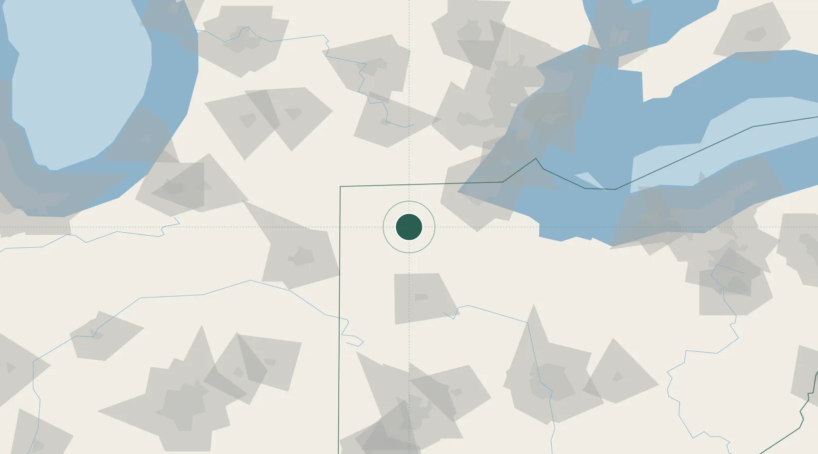
Location
Nearby Logistics Neighbours
Cities
- 1Pettisville19 km
- 2Stryker23 km
- 3Delta30 km
- 4Deshler33 km
- 5Oakwood, Paulding33 km
Ports
- 1Toledo74 km
- 2Monroe94 km
- 3Port Clinton109 km
- 4Put In Bay121 km
- 5Trenton123 km
Airports
Trade Zones
- 1FTZ No. 151 Findlay55 km
- 2FTZ No. 008 Toledo66 km
- 3FTZ No. 182 Fort Wayne95 km
- 4FTZ No. 070 Detroit138 km
- 5FTZ No. 043 Battle Creek141 km
DatabookThe Record of Consolidated Knowledge
United States beyond logistics?