UN/LOCODE hub · United States
USWJW

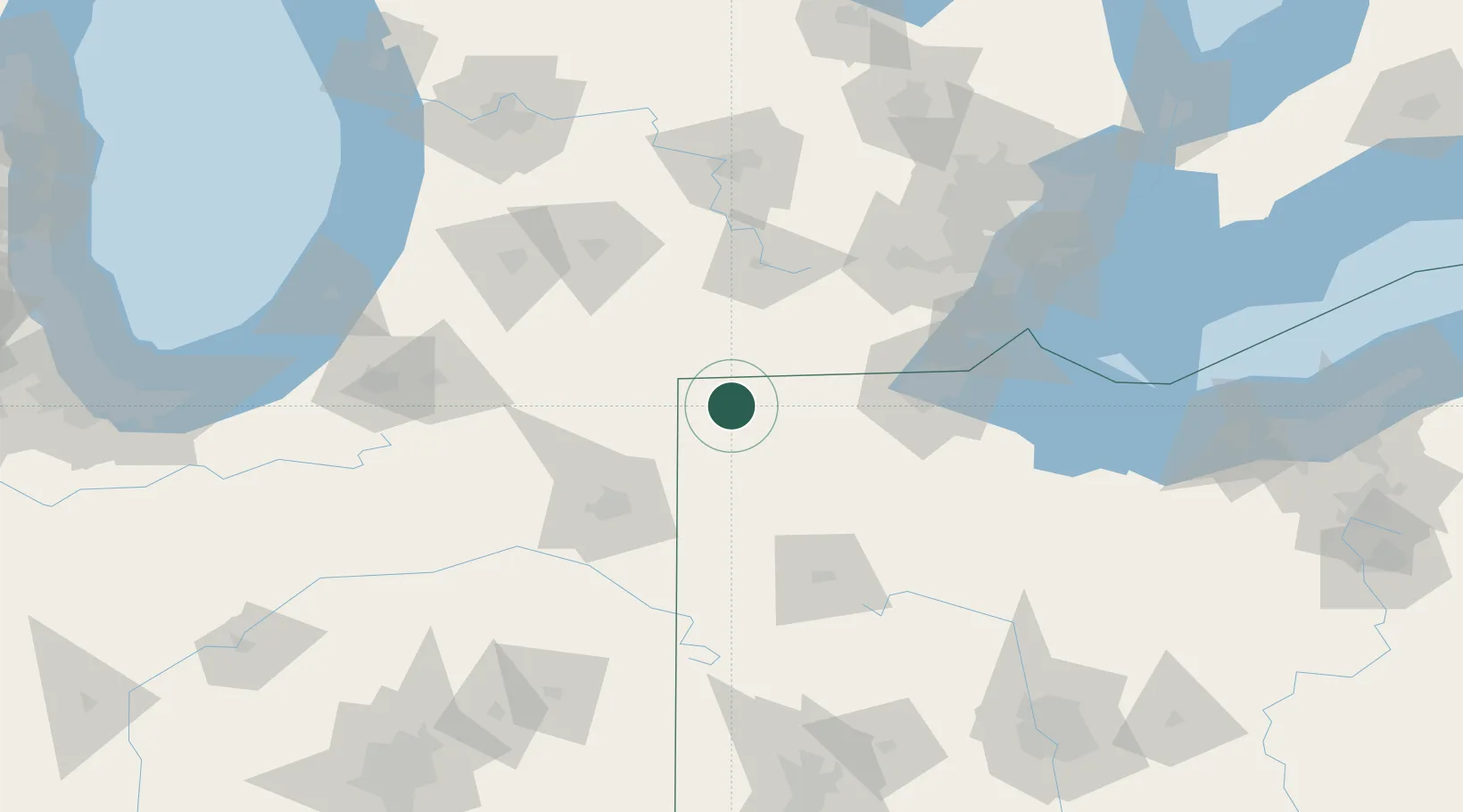
West Jefferson, Williams

41.5667°, -84.5500°
2
Transport functions

Transport Functions

Road
Multimodal
UN/LOCODE

Hub Profile

Region
OH
GeoNames

Location

Location of USWJW
Natural Earth 10m (public domain) · OH · USWJW · 41.57, -84.55GoogleOSMYandex

Nearby Logistics Neighbours

Cities
  1. 1Morris Plains5 km
  2. 2Holiday City6 km
  3. 3Alvordton13 km
  4. 4Stryker15 km
  5. 5Pettisville27 km
Nearest neighbours — logibook spatial index (haversine) over the source coordinates
Ports
  1. 1Toledo91 km
  2. 2Monroe107 km
  3. 3Trenton131 km
  4. 4Amherstburg134 km
  5. 5Port Clinton135 km
Nearest neighbours — logibook spatial index (haversine) over the source coordinates
Airports
  1. 1Eugene F. Kranz Toledo Express Airport62 km
  2. 2Jackson County Airport/Reynolds Field78 km
  3. 3Fort Wayne International Airport85 km
  4. 4Findlay Airport96 km
  5. 5Battle Creek Executive Airport at Kellogg Field101 km
Nearest neighbours — logibook spatial index (haversine) over the source coordinates
Trade Zones
  1. 1FTZ No. 182 Fort Wayne82 km
  2. 2FTZ No. 008 Toledo85 km
  3. 3FTZ No. 151 Findlay92 km
  4. 4FTZ No. 043 Battle Creek105 km
  5. 5FTZ No. 070 Detroit139 km
Nearest neighbours — logibook spatial index (haversine) over the source coordinates
DatabookThe Record of Consolidated Knowledge
United States beyond logistics?
Browse databook

All Sources

LocationsUN/LOCODE
UN/LOCODE — free
Portsthe NGA World Port Index
Public domain (US gov)
AirportsOurAirports
Public domain
Trade Zonesthe World Bank SEZ database
CC BY 4.0
Trade ZonesOpen Zone Map
CC BY
← United States locations