Transport Functions
Multimodal
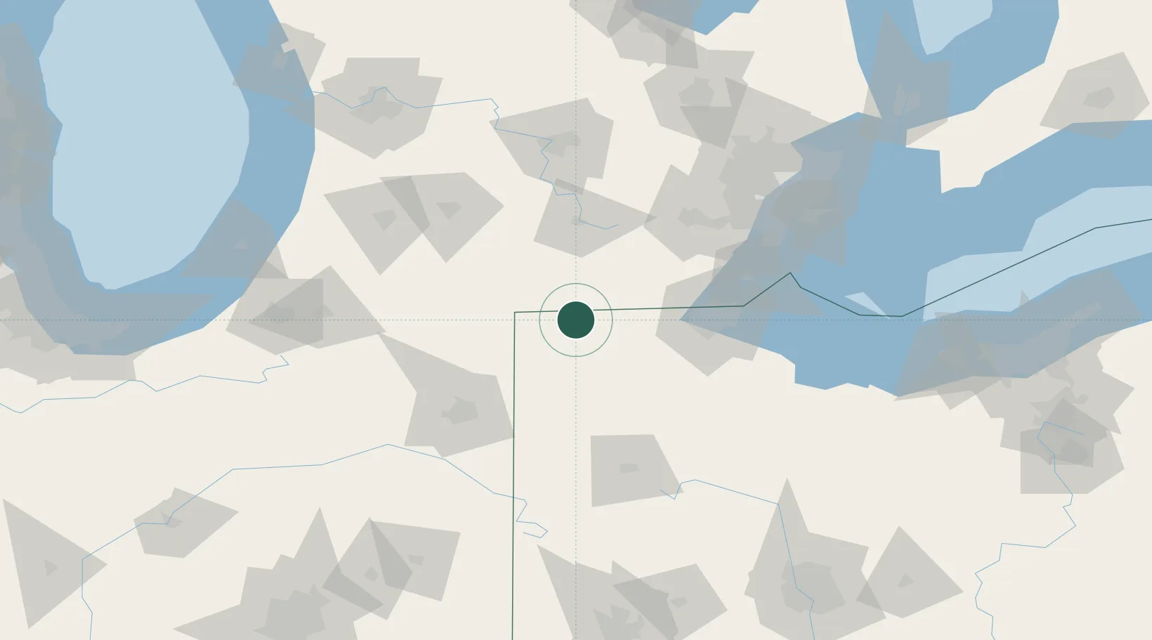
Hub Profile
Place type
Populated place
Region
Ohio
Population
217
Time zone
America/New_York
Elevation
262 m
Location
Nearby Logistics Neighbours
Cities
- 1Holiday City10 km
- 2West Jefferson, Williams13 km
- 3Morris Plains16 km
- 4Stryker17 km
- 5Pettisville22 km
Ports
- 1Toledo81 km
- 2Monroe95 km
- 3Trenton118 km
- 4Amherstburg121 km
- 5Wyandotte123 km
Airports
Trade Zones
- 1FTZ No. 008 Toledo75 km
- 2FTZ No. 151 Findlay91 km
- 3FTZ No. 182 Fort Wayne95 km
- 4FTZ No. 043 Battle Creek104 km
- 5FTZ No. 070 Detroit126 km
DatabookThe Record of Consolidated Knowledge
United States beyond logistics?