Transport Functions
Rail
Road
Multimodal
Hub Profile
Place type
Populated place
Region
Ohio
Population
3,121
Time zone
America/New_York
Elevation
220 m
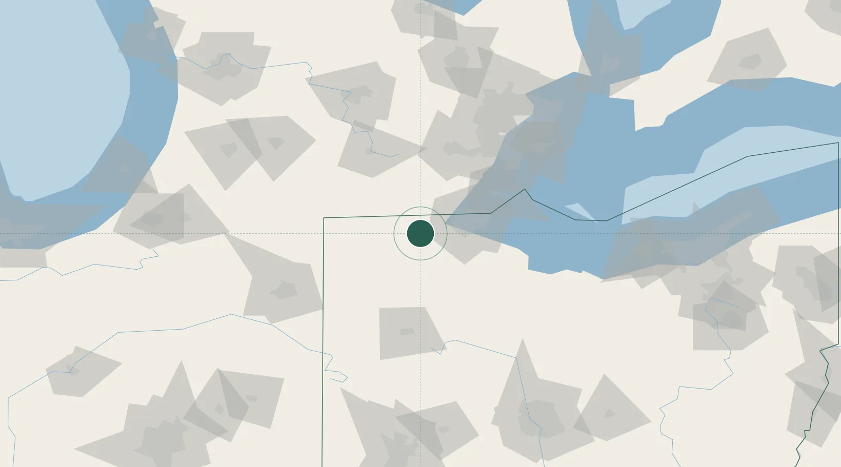
Location
Nearby Logistics Neighbours
Cities
- 1Pettisville20 km
- 2Weston23 km
- 3Waterville25 km
- 4Haskins28 km
- 5Sylvania30 km
Ports
- 1Toledo47 km
- 2Monroe66 km
- 3Port Clinton89 km
- 4Trenton94 km
- 5Amherstburg95 km
Airports
Trade Zones
- 1FTZ No. 008 Toledo40 km
- 2FTZ No. 151 Findlay63 km
- 3FTZ No. 070 Detroit108 km
- 4Windsor - Essex Foreign Trade Zone116 km
- 5FTZ No. 182 Fort Wayne121 km
DatabookThe Record of Consolidated Knowledge
United States beyond logistics?