Transport Functions
Port
Road
Hub Profile
Place type
Provincial seat
Region
New York
Population
17,787
Time zone
America/New_York
Elevation
87 m
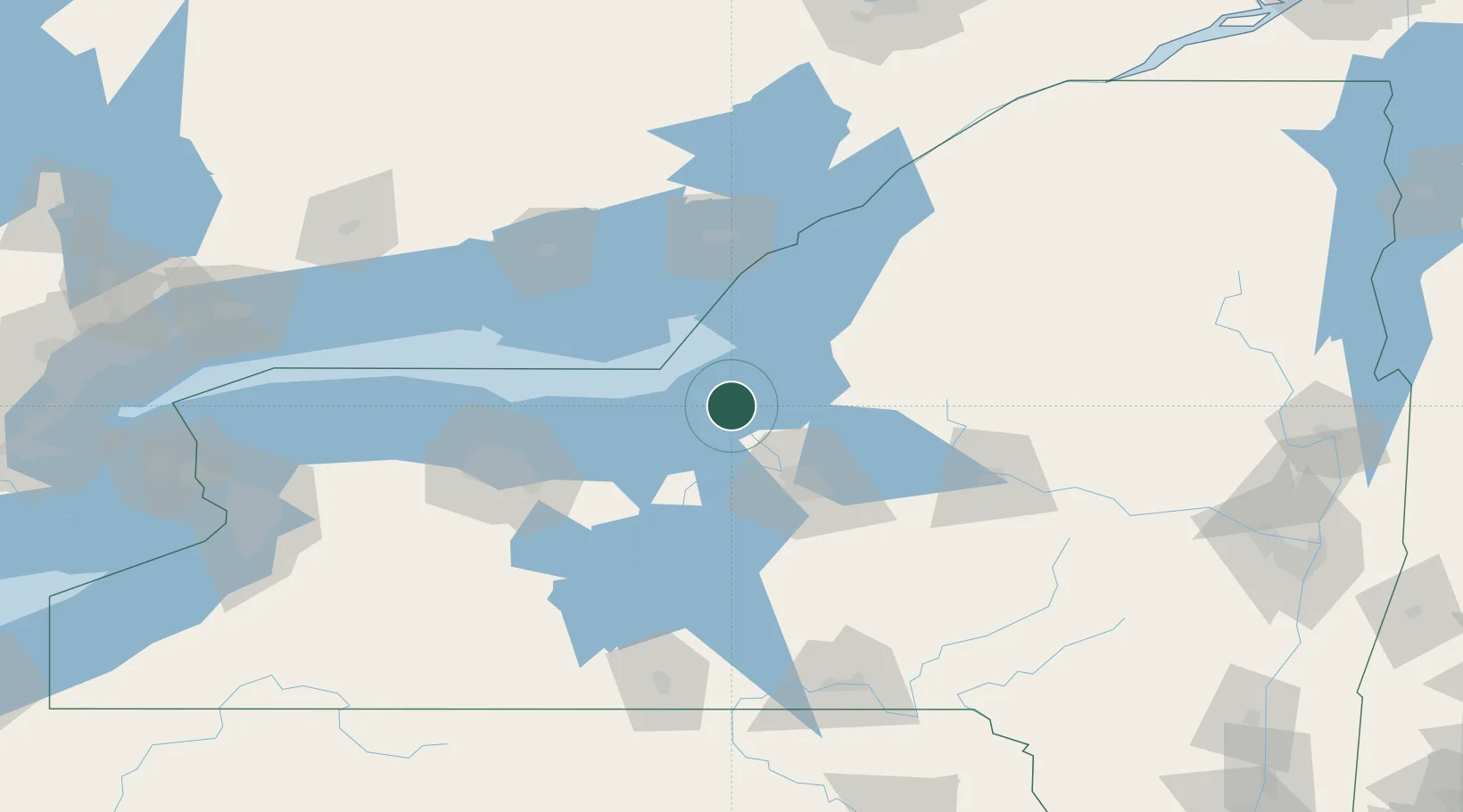
Location
Nearby Logistics Neighbours
Cities
- 1Parish30 km
- 2Cato32 km
- 3Plainville34 km
- 4Baldwinsville36 km
- 5Wolcott37 km
Ports
- 1Sodus Bay44 km
- 2Picton81 km
- 3Wolfe Island84 km
- 4Millhaven86 km
- 5Kingston87 km
Airports
Trade Zones
- 1FTZ No. 090 Onondaga4 km
- 2FTZ No. 172 Oneida County44 km
- 3FTZ No. 109 Watertown77 km
- 4FTZ No. 289 Ontario County112 km
- 5FTZ No. 141 Monroe County120 km
DatabookThe Record of Consolidated Knowledge
United States beyond logistics?