Transport Functions
Port
Rail
Road
Multimodal
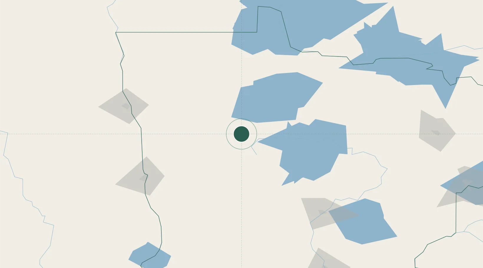
Hub Profile
Place type
Provincial seat
Region
Minnesota
Population
1,394
Time zone
America/Chicago
Elevation
442 m
Location
Nearby Logistics Neighbours
Ports
- 1Duluth263 km
- 2Superior267 km
- 3Two Harbors288 km
- 4Washburn355 km
- 5Bayfield356 km
Airports
Trade Zones
- 1FTZ No. 259 Koochiching County117 km
- 2FTZ No. 267 Fargo140 km
- 3FTZ No. 103 Grand Forks140 km
- 4FTZ No. 051 Duluth252 km
- 5Winnipegs Centreport Canada294 km
DatabookThe Record of Consolidated Knowledge
United States beyond logistics?