UN/LOCODE hub · United States
USM5V
Morrisonville
39.4167°, -89.4500°
1,028
Population
1
Transport functions
Transport Functions
Port
Hub Profile
Place type
Populated place
Region
Illinois
Population
1,028
Time zone
America/Chicago
Elevation
192 m
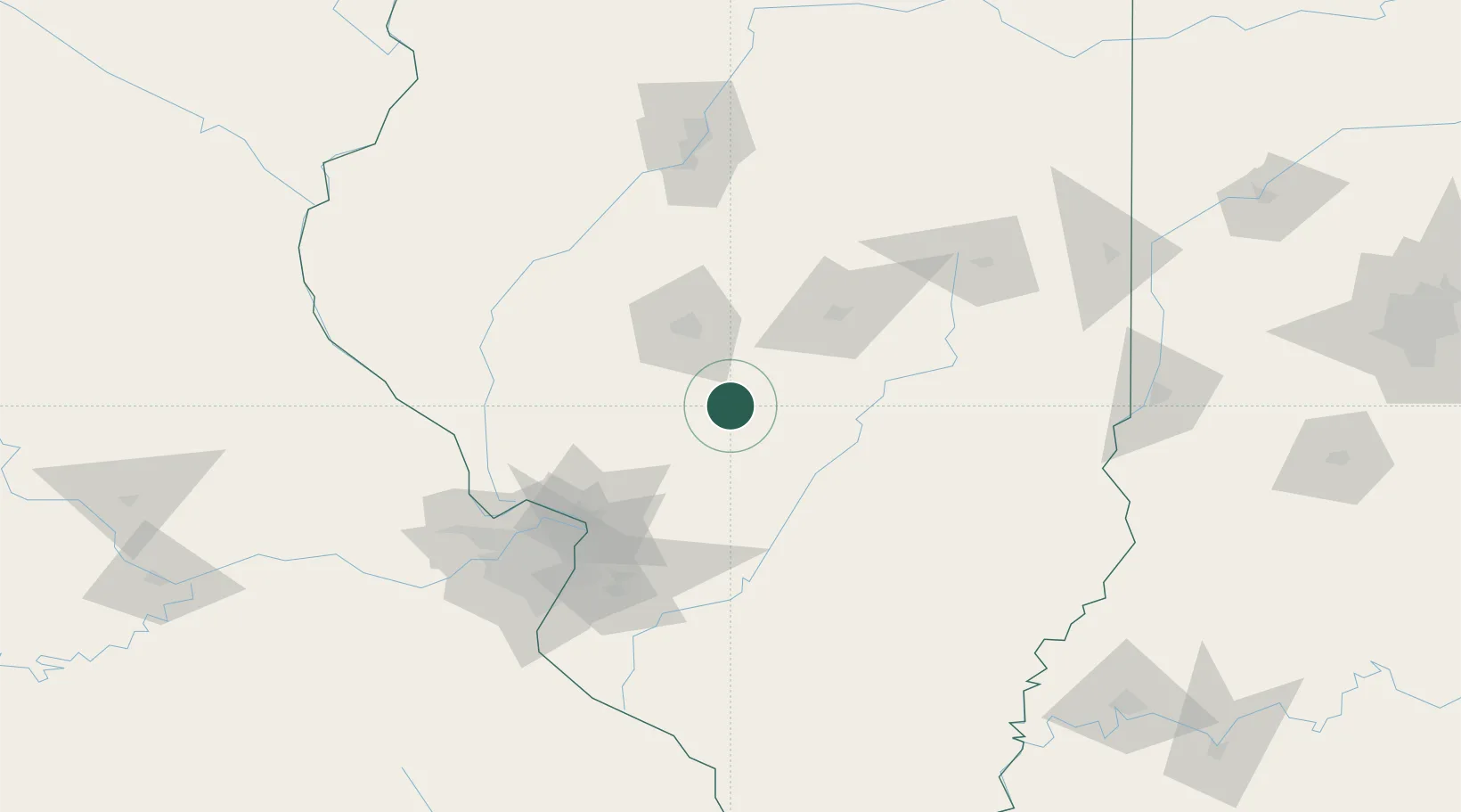
Location
Nearby Logistics Neighbours
Cities
- 1Girard27 km
- 2Pana32 km
- 3Lemmon33 km
- 4Auburn33 km
- 5Stonington33 km
Ports
- 1Indiana Harbor303 km
- 2Gary303 km
- 3Calumet Harbor305 km
- 4Chicago316 km
- 5Wilmette332 km
Airports
Trade Zones
- 1FTZ No. 245 Decatur59 km
- 2FTZ No. 031 Granite City99 km
- 3FTZ No. 102 St. Louis County139 km
- 4FTZ No. 114 Peoria143 km
- 5FTZ No. 055 Burlington209 km
DatabookThe Record of Consolidated Knowledge
United States beyond logistics?