UN/LOCODE hub · United States
USULI
Sullivan
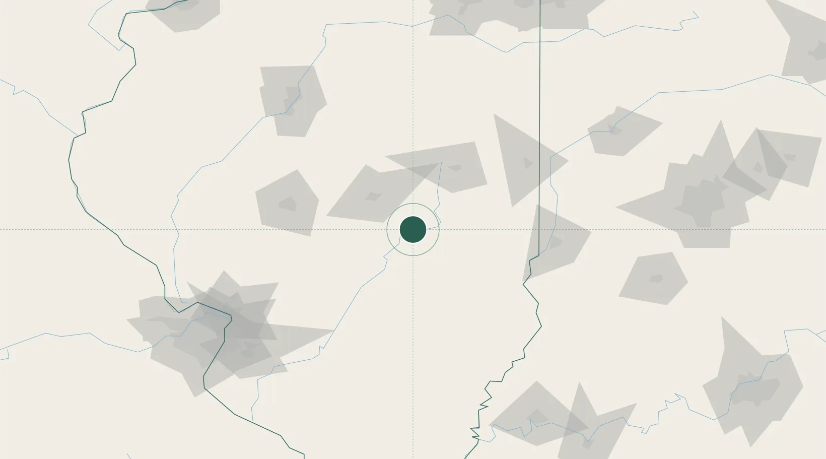
39.5833°, -88.6000°
4,494
Population
3
Transport functions
Transport Functions
Rail
Road
Multimodal
Hub Profile
Place type
Provincial seat
Region
Illinois
Population
4,494
Time zone
America/Chicago
Elevation
205 m
Location
Nearby Logistics Neighbours
Cities
- 1Neoga32 km
- 2Cerro Gordo35 km
- 3Moweaqua36 km
- 4Decatur42 km
- 5Holland, Effingham43 km
Ports
- 1Gary250 km
- 2Indiana Harbor252 km
- 3Calumet Harbor256 km
- 4Chicago269 km
- 5Michigan City279 km
Airports
Trade Zones
- 1FTZ No. 245 Decatur50 km
- 2FTZ No. 114 Peoria150 km
- 3FTZ No. 031 Granite City167 km
- 4FTZ No. 177 Evansville196 km
- 5FTZ No. 072 Indianapolis196 km
DatabookThe Record of Consolidated Knowledge
United States beyond logistics?