UN/LOCODE hub · United States
USL9K
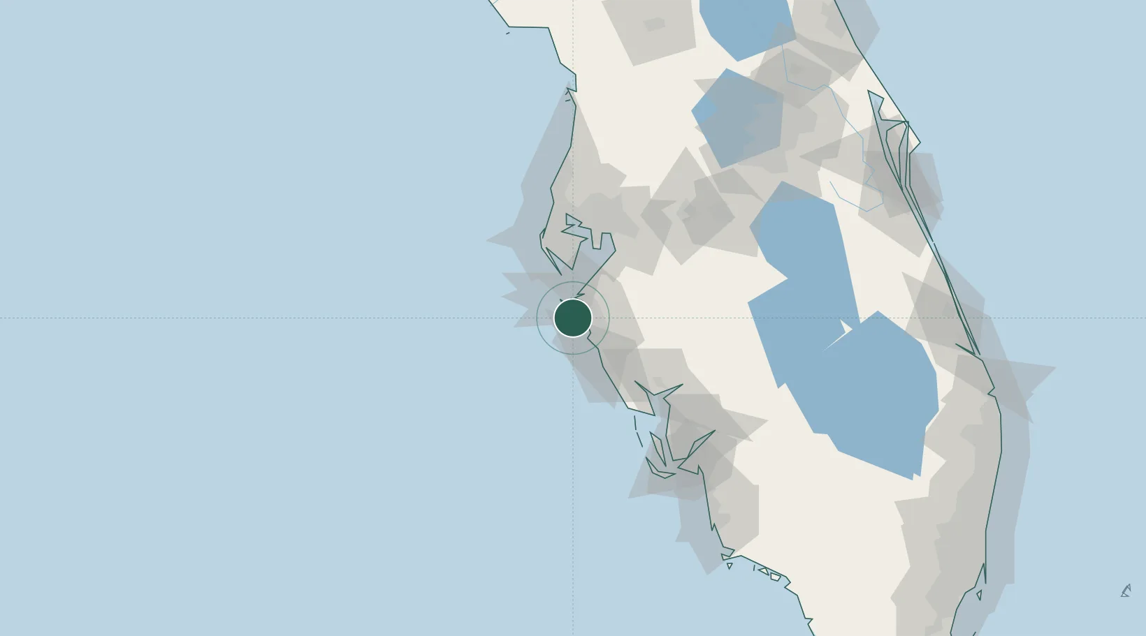
Longboat Key
27.4000°, -82.6500°
7,266
Population
2
Transport functions
Transport Functions
Port
Road
Hub Profile
Place type
Populated place
Region
Florida
Population
7,266
Time zone
America/New_York
Elevation
1 m
Location
Nearby Logistics Neighbours
Cities
- 1Bradenton Beach9 km
- 2Sarasota14 km
- 3Memphis18 km
- 4Port Manatee27 km
- 5Saint Pete Beach36 km
Ports
- 1Port Manatee27 km
- 2Sankt-Peterburg41 km
- 3Tampa61 km
- 4Boca Grande84 km
- 5Tarpon Springs84 km
Airports
Trade Zones
- 1FTZ No. 169 Manatee County7 km
- 2FTZ No. 079 Tampa64 km
- 3FTZ No. 193 Pinellas County78 km
- 4FTZ No. 215 Sebring111 km
- 5FTZ No. 213 Fort Myers114 km
DatabookThe Record of Consolidated Knowledge
United States beyond logistics?