Transport Functions
Road
Multimodal
Hub Profile
Place type
Populated place
Region
Tennessee
Time zone
America/Chicago
Elevation
184 m
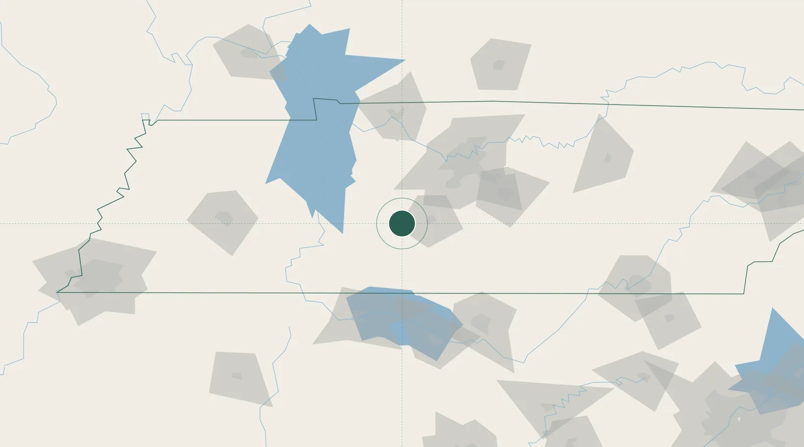
Location
Nearby Logistics Neighbours
Cities
- 1Ethridge32 km
- 2Lyles35 km
- 3Bon Aqua37 km
- 4Liberty Hill, Williamson44 km
- 5Fairview46 km
Ports
- 1Port Of Memphis267 km
- 2Mobile552 km
- 3Pensacola578 km
- 4Pascagoula596 km
- 5Biloxi599 km
Airports
Trade Zones
- 1FTZ No. 078 Nashville69 km
- 2FTZ No. 265 Conroe (Montgomery County)109 km
- 3FTZ No. 270 Lawrence County112 km
- 4FTZ No. 083 Huntsville117 km
- 5FTZ No. 134 Chattanooga183 km
DatabookThe Record of Consolidated Knowledge
United States beyond logistics?