UN/LOCODE hub · United States
USFEW
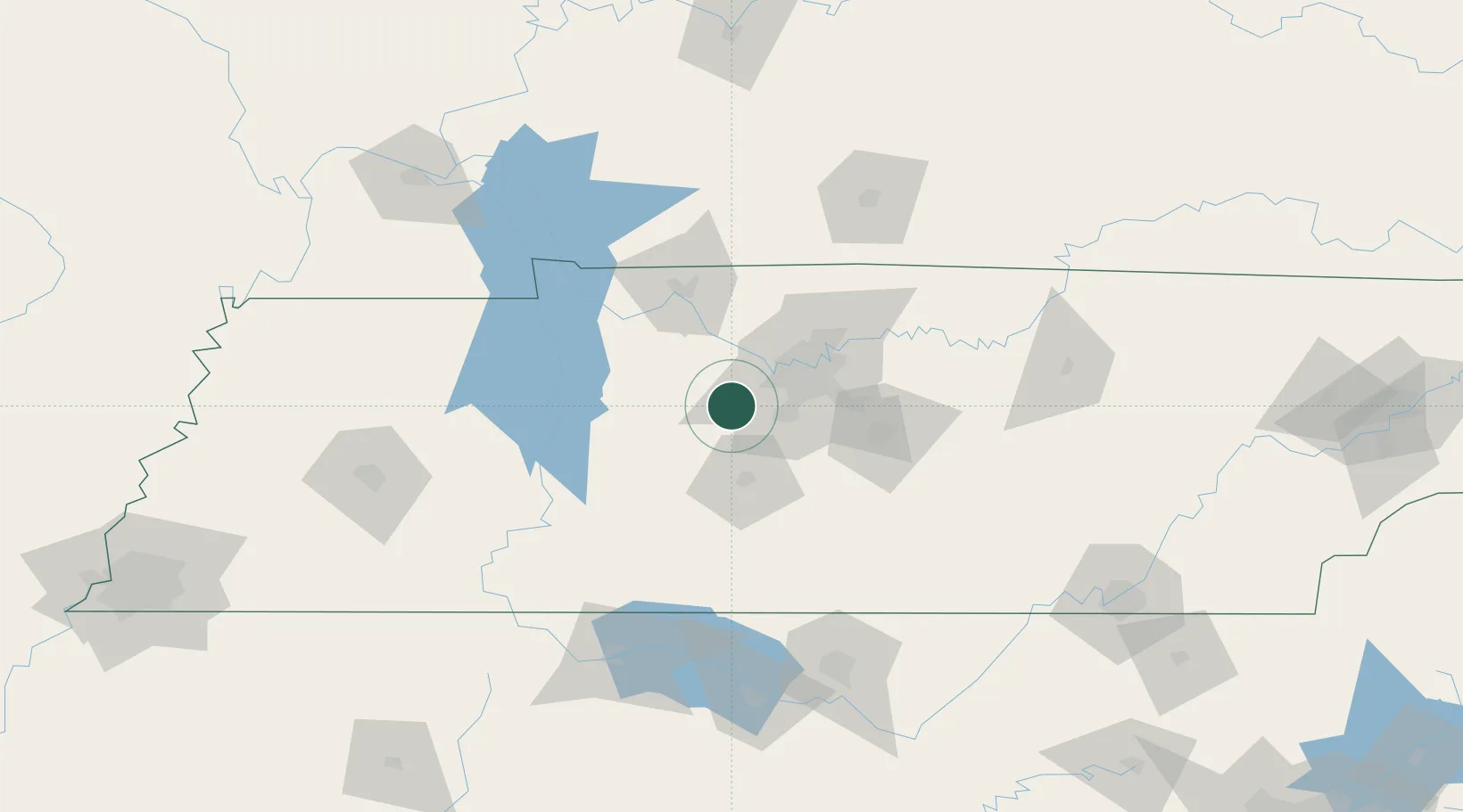
Fairview
35.9833°, -87.1167°
8,331
Population
2
Transport functions
Transport Functions
Road
Multimodal
Hub Profile
Place type
Populated place
Region
Tennessee
Population
8,331
Time zone
America/Chicago
Elevation
251 m
Location
Nearby Logistics Neighbours
Cities
- 1Liberty Hill, Williamson6 km
- 2Kingston Springs13 km
- 3Burns18 km
- 4Bon Aqua20 km
- 5Lyles21 km
Ports
- 1Port Of Memphis294 km
- 2Mobile597 km
- 3Pensacola621 km
- 4Gary627 km
- 5Indiana Harbor633 km
Airports
Trade Zones
- 1FTZ No. 078 Nashville23 km
- 2FTZ No. 265 Conroe (Montgomery County)148 km
- 3FTZ No. 270 Lawrence County150 km
- 4FTZ No. 083 Huntsville152 km
- 5FTZ No. 294 Western Kentucky178 km
DatabookThe Record of Consolidated Knowledge
United States beyond logistics?