Transport Functions
Road
Multimodal
Hub Profile
Place type
Populated place
Region
Tennessee
Population
474
Time zone
America/Chicago
Elevation
299 m
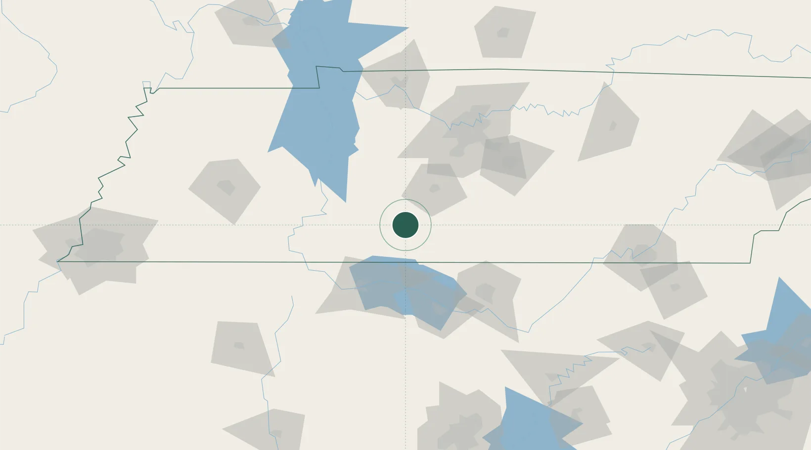
Location
Nearby Logistics Neighbours
Cities
- 1Leoma17 km
- 2Hampshire32 km
- 3Prospect42 km
- 4Collinwood43 km
- 5Priceville49 km
Ports
- 1Port Of Memphis262 km
- 2Mobile521 km
- 3Pensacola547 km
- 4Pascagoula565 km
- 5Biloxi568 km
Airports
Trade Zones
DatabookThe Record of Consolidated Knowledge
United States beyond logistics?