UN/LOCODE hub · United States
USPHJ
Phillipsburg
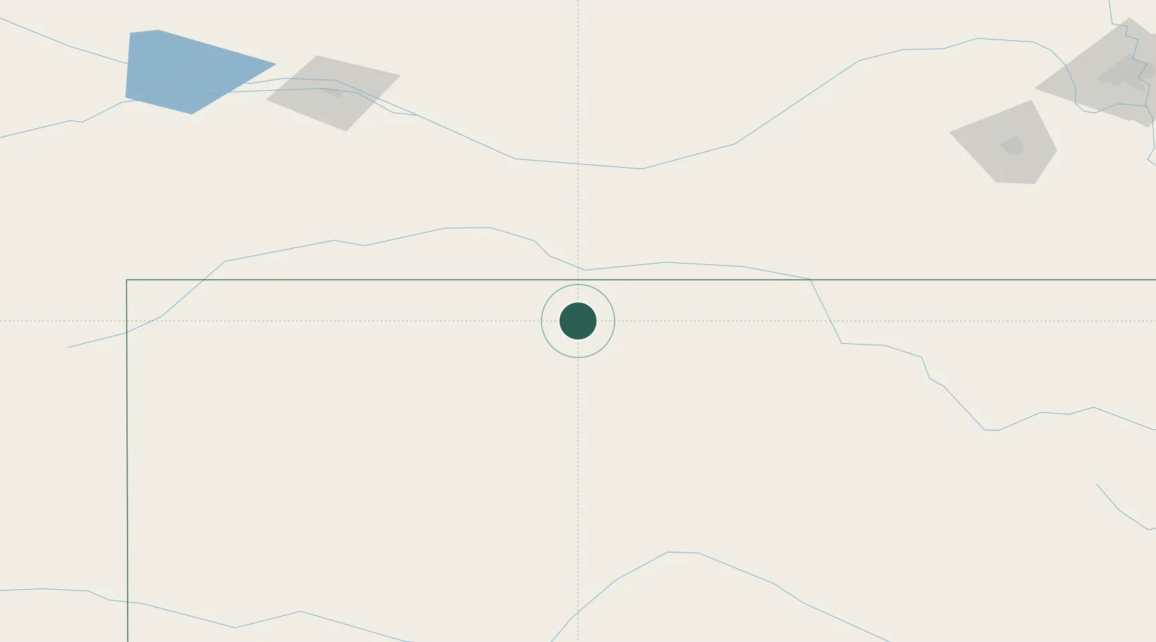
39.7500°, -99.3167°
2,524
Population
2
Transport functions
Transport Functions
Rail
Road
Hub Profile
Place type
Provincial seat
Region
Kansas
Population
2,524
Time zone
America/Chicago
Elevation
593 m
Location
Nearby Logistics Neighbours
Ports
- 1Port Of Memphis961 km
- 2Superior973 km
- 3Duluth974 km
- 4Two Harbors1017 km
- 5Ashland1023 km
Airports
- 1Hays Regional Airport101 km
- 2Russell Municipal Airport107 km
- 3Kearney Regional Airport112 km
- 4McCook Ben Nelson Regional Airport120 km
- 5Central Nebraska Regional Airport160 km
Trade Zones
- 1FTZ No. 059 Lincoln241 km
- 2FTZ No. 133 Quad-Cities, Iowa Illinois259 km
- 3FTZ No. 161 Sedgwick County266 km
- 4FTZ No. 293 Limon379 km
- 5FTZ No. 017 Kansas City390 km
DatabookThe Record of Consolidated Knowledge
United States beyond logistics?