UN/LOCODE hub · United States
USQSL
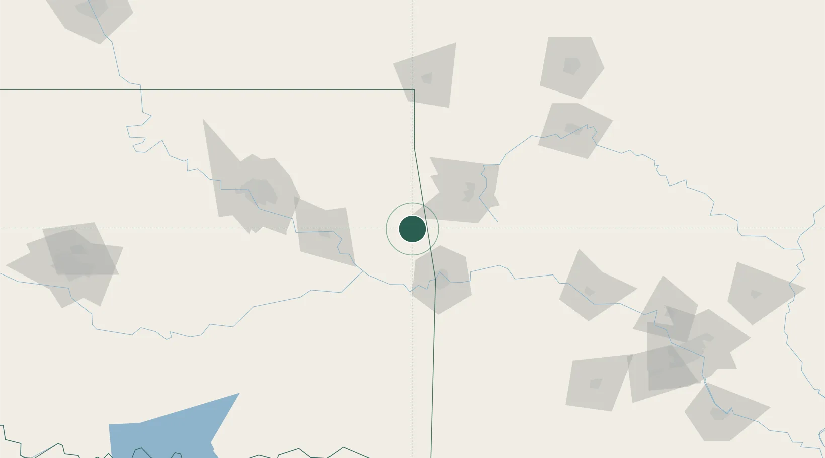
Stilwell
35.8167°, -94.6333°
4,016
Population
3
Transport functions
Transport Functions
Rail
Road
Multimodal
Hub Profile
Place type
Provincial seat
Region
Oklahoma
Population
4,016
Time zone
America/Chicago
Elevation
332 m
Location
Nearby Logistics Neighbours
Cities
- 1Westville20 km
- 2Lincoln23 km
- 3Prairie Grove33 km
- 4West Fork42 km
- 5Muldrow47 km
Ports
- 1Port Of Memphis413 km
- 2Lake Charles636 km
- 3Beaumont640 km
- 4Orange643 km
- 5Port Neches650 km
Airports
- 1Drake Field47 km
- 2Fort Smith Regional Airport59 km
- 3Northwest Arkansas National Airport60 km
- 4Tulsa International Airport120 km
- 5Tulsa Riverside Airport124 km
Trade Zones
- 1FTZ No. 164 Muskogee74 km
- 2FTZ No. 053 Rogers County124 km
- 3FTZ No. 225 Springfield203 km
- 4FTZ No. 014 Little Rock253 km
- 5FTZ No. 227 Durant258 km
DatabookThe Record of Consolidated Knowledge
United States beyond logistics?