UN/LOCODE hub · United States
USZD8

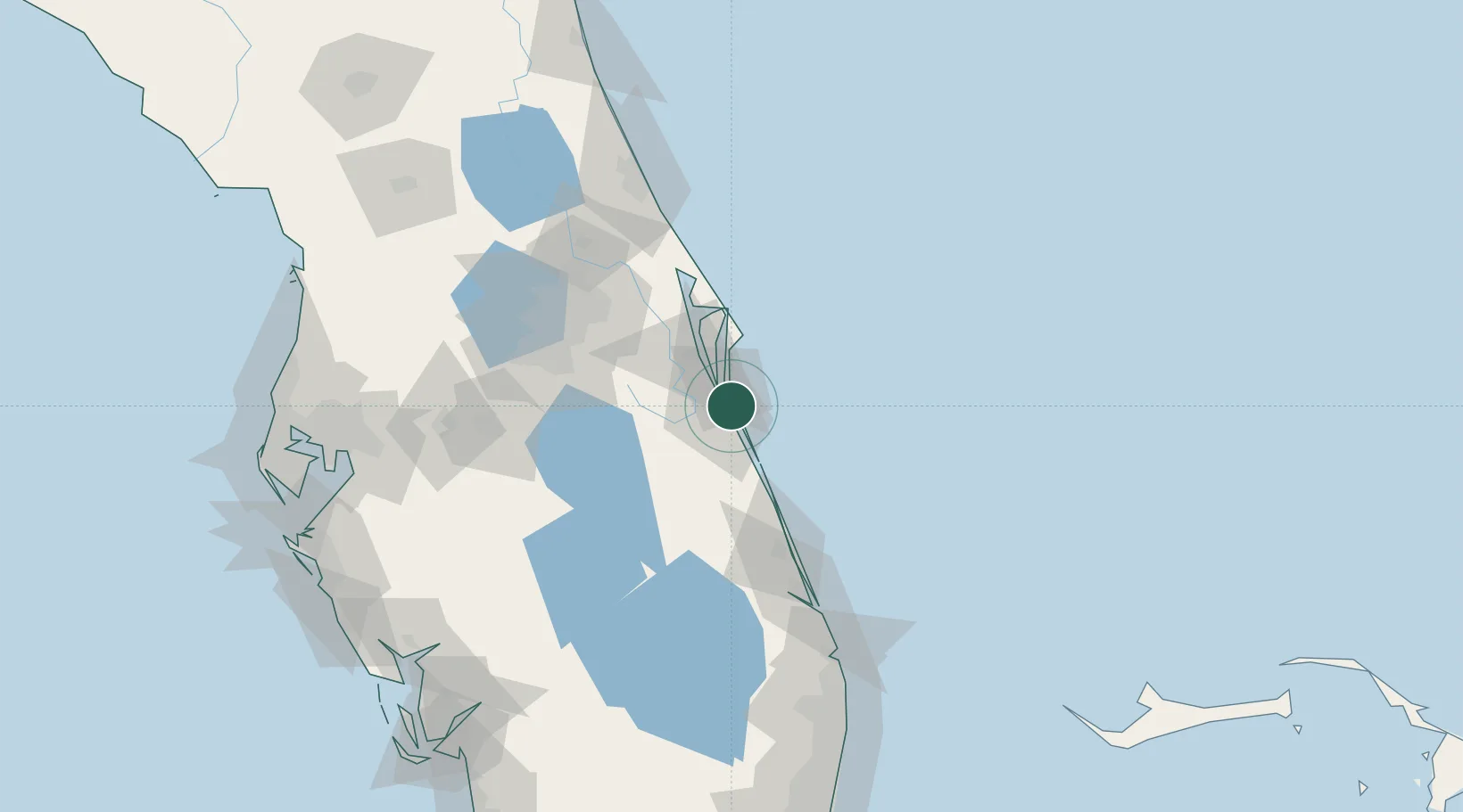
Indian Harbour Beach

28.1333°, -80.5833°
8,471
Population
1
Transport functions

Transport Functions

Multimodal
UN/LOCODE

Hub Profile

Place type
Populated place
GeoNames
Region
Florida
GeoNames
Population
8,471
GeoNames
Time zone
America/New_York
GeoNames
Elevation
3 m
GeoNames

Location

Location of USZD8
Natural Earth 10m (public domain) · Florida · USZD8 · 28.13, -80.58GoogleOSMYandex

Nearby Logistics Neighbours

Cities
  1. 1Indialantic6 km
  2. 2Malabar15 km
  3. 3Cocoa Beach21 km
  4. 4Port Canaveral31 km
  5. 5Fellsmere41 km
Nearest neighbours — logibook spatial index (haversine) over the source coordinates
Ports
  1. 1Canaveral Harbor63 km
  2. 2Fort Pierce79 km
  3. 3Palm Beach161 km
  4. 4Tampa185 km
  5. 5Port Manatee203 km
Nearest neighbours — logibook spatial index (haversine) over the source coordinates
Airports
  1. 1Melbourne Orlando International Airport7 km
  2. 2Patrick Space Force Base12 km
  3. 3Cape Canaveral SFS Skid Strip37 km
  4. 4Space Coast Regional Airport47 km
  5. 5Space Florida Launch and Landing Facility55 km
Nearest neighbours — logibook spatial index (haversine) over the source coordinates
Trade Zones
  1. 1FTZ No. 136 Brevard County68 km
  2. 2FTZ No. 218 St. Lucie County84 km
  3. 3FTZ No. 042 Orlando99 km
  4. 4FTZ No. 250 Seminole County102 km
  5. 5FTZ No. 215 Sebring119 km
Nearest neighbours — logibook spatial index (haversine) over the source coordinates
DatabookThe Record of Consolidated Knowledge
United States beyond logistics?
Browse databook

All Sources

LocationsUN/LOCODE
UN/LOCODE — free
LocationsGeoNames
CC BY 4.0
Portsthe NGA World Port Index
Public domain (US gov)
AirportsOurAirports
Public domain
Trade Zonesthe World Bank SEZ database
CC BY 4.0
Trade ZonesOpen Zone Map
CC BY
← United States locations