Transport Functions
Port
Rail
Road
Hub Profile
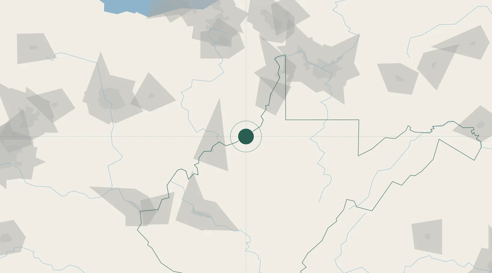
Place type
Populated place
Region
West Virginia
Time zone
America/New_York
Elevation
197 m
Location
Nearby Logistics Neighbours
Cities
- 1Sistersville11 km
- 2Pennsboro24 km
- 3New Martinsville25 km
- 4Whipple27 km
- 5Reno29 km
Airports
Trade Zones
- 1FTZ No. 033 Pittsburgh137 km
- 2FTZ No. 229 Charleston138 km
- 3FTZ No. 138 Franklin County163 km
- 4FTZ No. 181 Akron Canton173 km
- 5FTZ No. 054 Clinton County232 km
DatabookThe Record of Consolidated Knowledge
United States beyond logistics?