UN/LOCODE hub · United States
USNM2
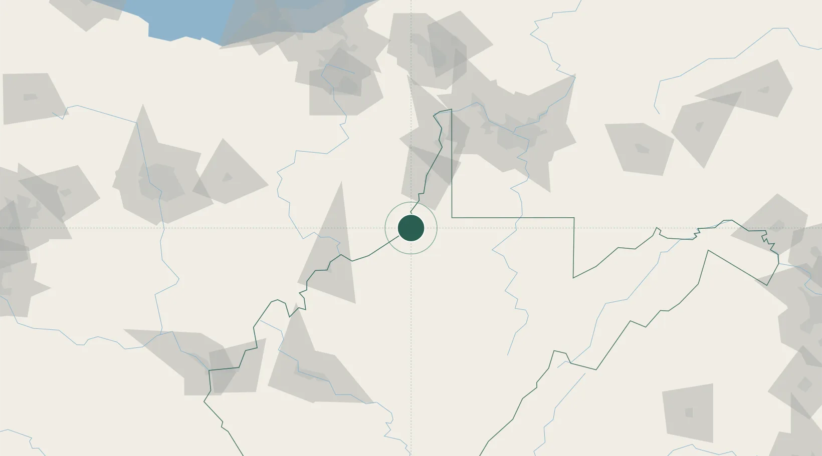
New Martinsville
39.6333°, -80.8667°
5,218
Population
3
Transport functions
Transport Functions
Port
Rail
Road
Hub Profile
Place type
Provincial seat
Region
West Virginia
Population
5,218
Time zone
America/New_York
Elevation
190 m
Location
Nearby Logistics Neighbours
Cities
- 1Proctor8 km
- 2Sistersville14 km
- 3Long Reach25 km
- 4Glen Dale37 km
- 5Shadyside38 km
Airports
Trade Zones
- 1FTZ No. 033 Pittsburgh113 km
- 2FTZ No. 229 Charleston161 km
- 3FTZ No. 181 Akron Canton165 km
- 4FTZ No. 138 Franklin County178 km
- 5FTZ No. 040 Cleveland223 km
DatabookThe Record of Consolidated Knowledge
United States beyond logistics?