UN/LOCODE hub · United States
USIST
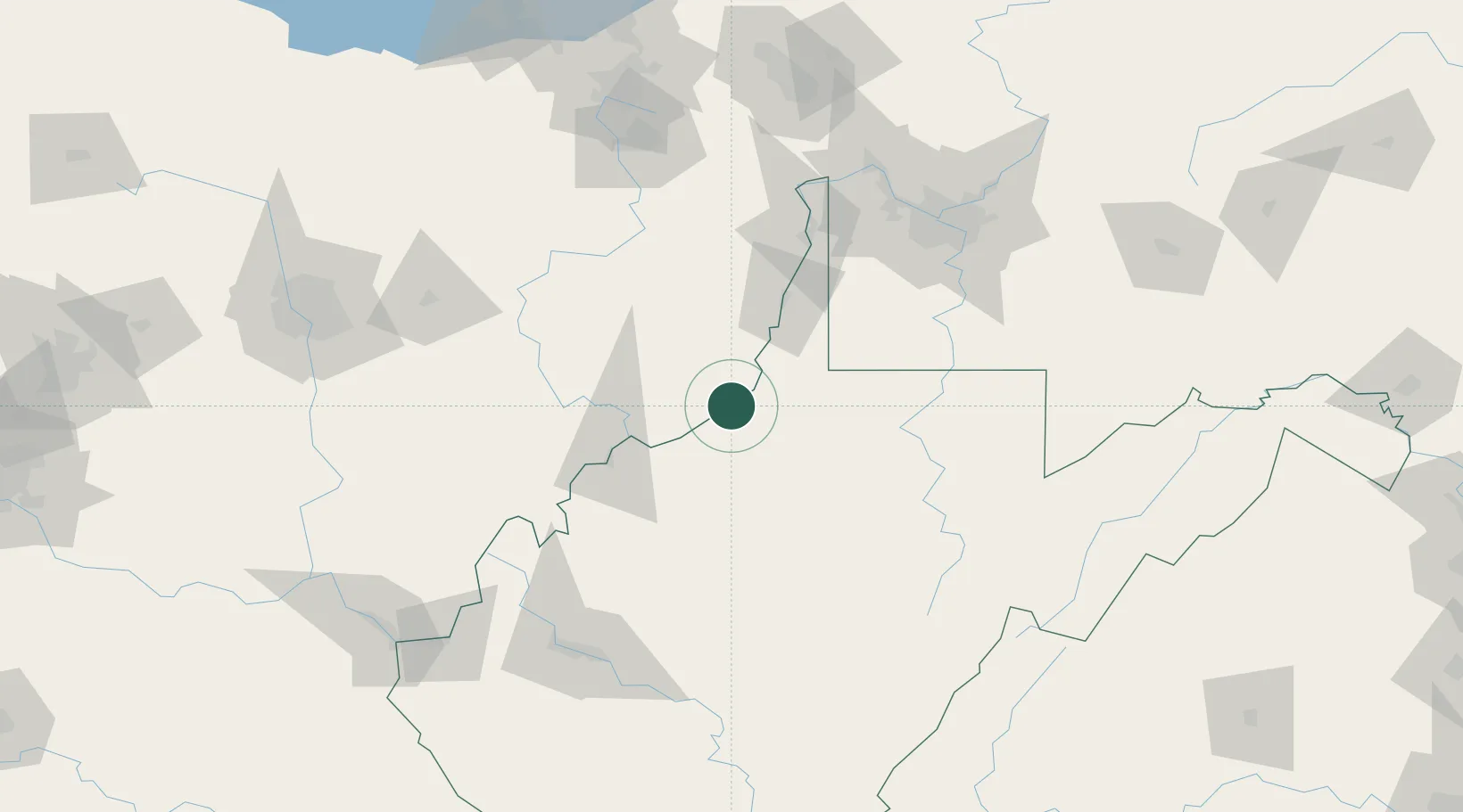
Sistersville
39.5500°, -80.9833°
1,366
Population
3
Transport functions
Transport Functions
Rail
Road
Multimodal
Hub Profile
Place type
Populated place
Region
West Virginia
Population
1,366
Time zone
America/New_York
Elevation
198 m
Location
Nearby Logistics Neighbours
Cities
- 1Long Reach11 km
- 2New Martinsville14 km
- 3Proctor21 km
- 4Pennsboro30 km
- 5Whipple36 km
Airports
Trade Zones
- 1FTZ No. 033 Pittsburgh126 km
- 2FTZ No. 229 Charleston148 km
- 3FTZ No. 181 Akron Canton169 km
- 4FTZ No. 138 Franklin County170 km
- 5FTZ No. 040 Cleveland229 km
DatabookThe Record of Consolidated Knowledge
United States beyond logistics?