Transport Functions
Multimodal
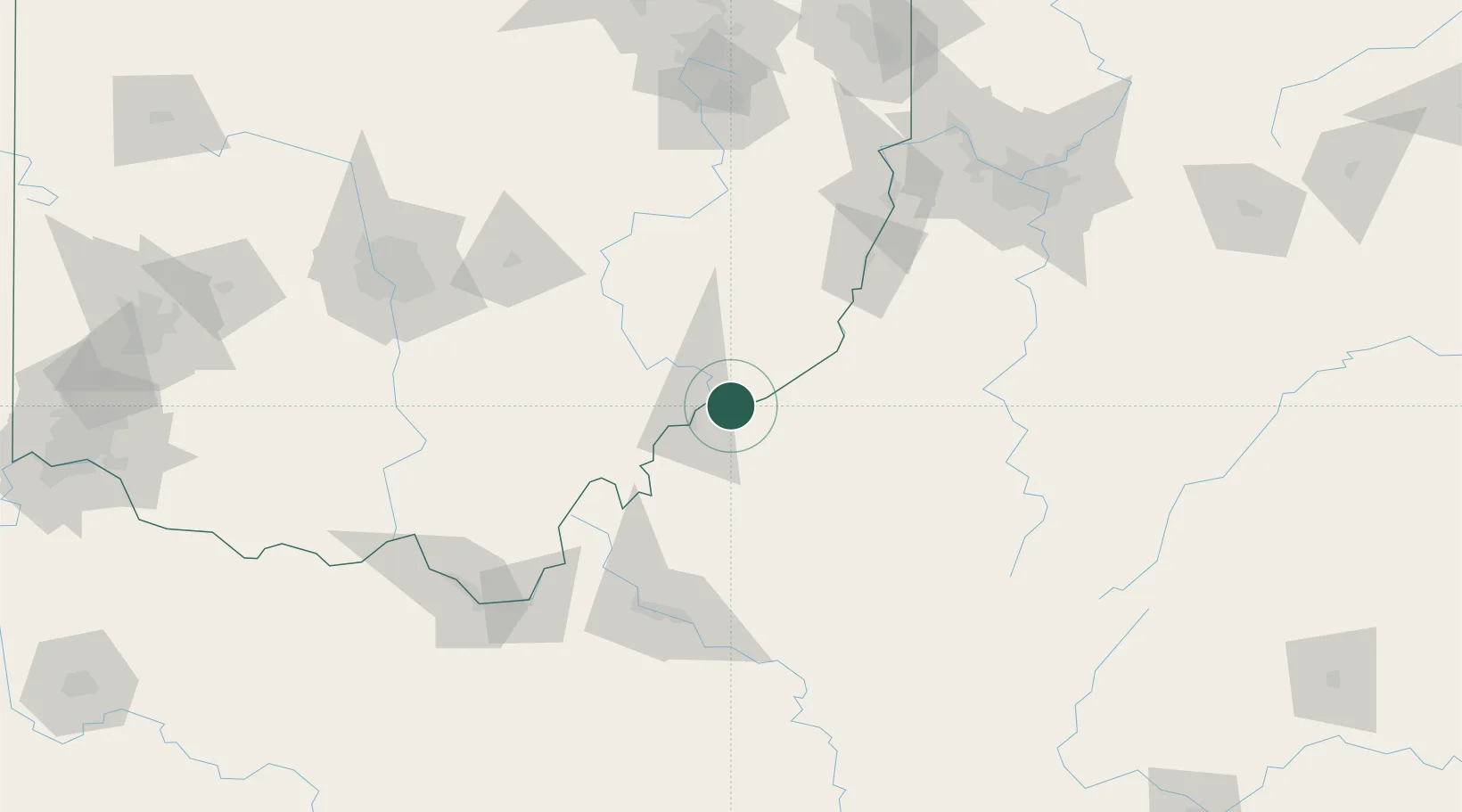
Hub Profile
Place type
Populated place
Region
Ohio
Population
1,293
Time zone
America/New_York
Elevation
197 m
Location
Nearby Logistics Neighbours
Cities
- 1Waverly4 km
- 2Williamstown6 km
- 3Whipple17 km
- 4Parkersburg19 km
- 5Cedar Grove20 km
Airports
Trade Zones
- 1FTZ No. 229 Charleston117 km
- 2FTZ No. 138 Franklin County142 km
- 3FTZ No. 033 Pittsburgh164 km
- 4FTZ No. 181 Akron Canton179 km
- 5FTZ No. 054 Clinton County207 km
DatabookThe Record of Consolidated Knowledge
United States beyond logistics?