UN/LOCODE hub · United States
USPAH
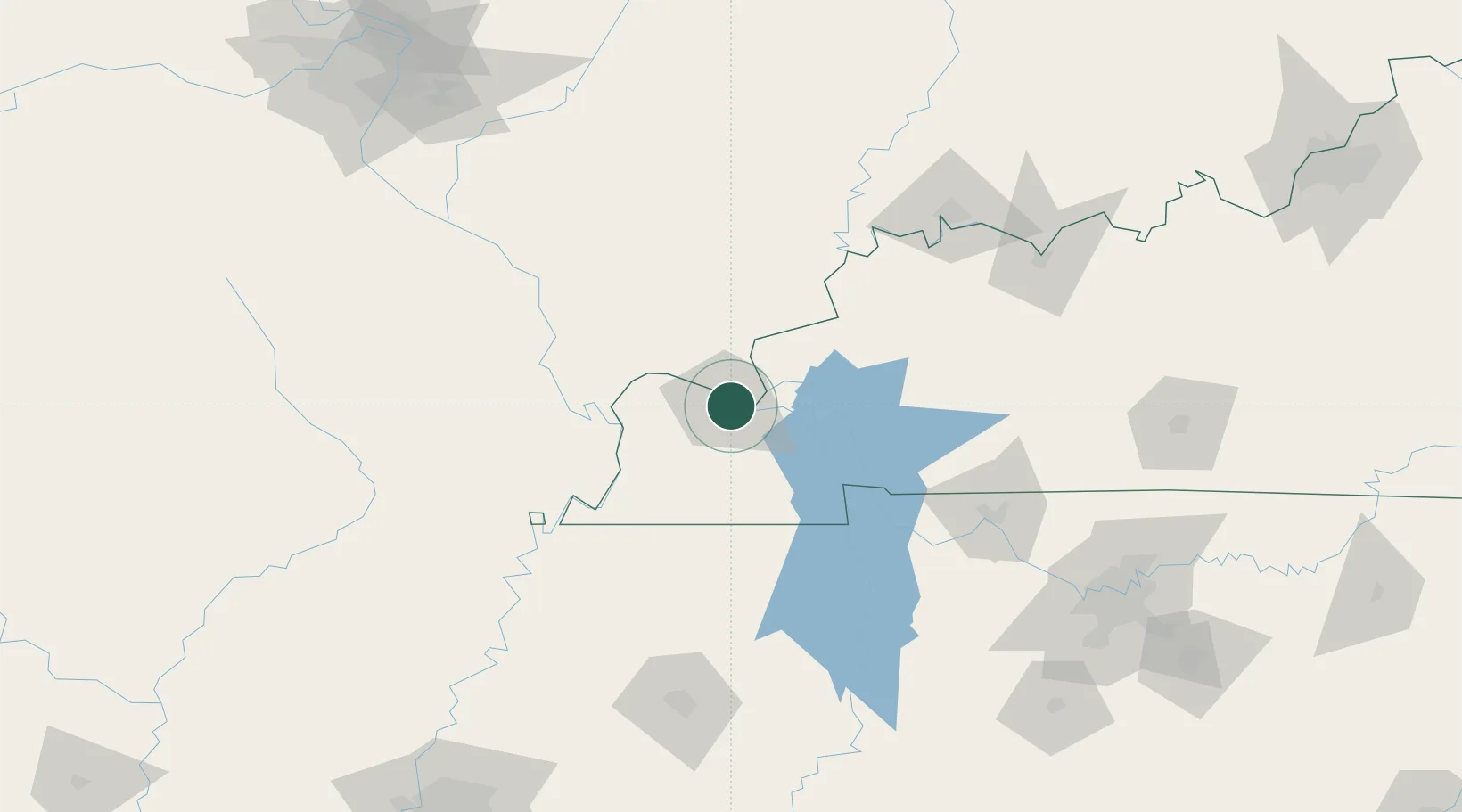
Paducah
37.0662°, -88.6040°
24,864
Population
4
Transport functions
Transport Functions
Port
Rail
Road
Airport
Hub Profile
Place type
Provincial seat
Region
Kentucky
Population
24,864
Time zone
America/Chicago
Elevation
104 m
Logistics facilities
1
Location
Nearby Logistics Neighbours
Cities
- 1Symsonia18 km
- 2Calvert City22 km
- 3Kansas22 km
- 4Joppa26 km
- 5Benton33 km
Ports
- 1Port Of Memphis263 km
- 2Gary518 km
- 3Indiana Harbor521 km
- 4Calumet Harbor527 km
- 5Michigan City539 km
Airports
Trade Zones
- 1FTZ No. 294 Western Kentucky2 km
- 2FTZ No. 177 Evansville135 km
- 3FTZ No. 078 Nashville169 km
- 4FTZ No. 283 West Tennessee175 km
- 5FTZ No. 031 Granite City233 km
DatabookThe Record of Consolidated Knowledge
United States beyond logistics?