Transport Functions
Road
Multimodal
Hub Profile
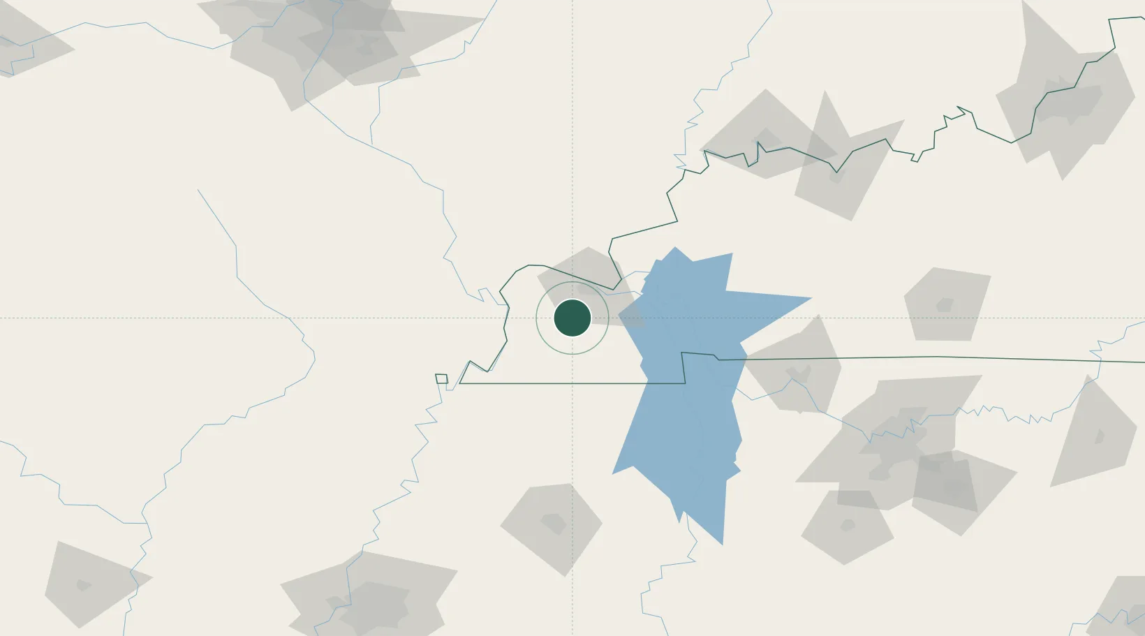
Place type
Populated place
Region
Kentucky
Time zone
America/Chicago
Elevation
151 m
Location
Nearby Logistics Neighbours
Cities
- 1Symsonia19 km
- 2Paducah22 km
- 3Farmington32 km
- 4Benton35 km
- 5Joppa35 km
Ports
- 1Port Of Memphis241 km
- 2Gary538 km
- 3Indiana Harbor542 km
- 4Calumet Harbor548 km
- 5Michigan City560 km
Airports
Trade Zones
- 1FTZ No. 294 Western Kentucky23 km
- 2FTZ No. 283 West Tennessee153 km
- 3FTZ No. 177 Evansville157 km
- 4FTZ No. 078 Nashville169 km
- 5FTZ No. 223 Memphis233 km
DatabookThe Record of Consolidated Knowledge
United States beyond logistics?