UN/LOCODE hub · United States
USCIW
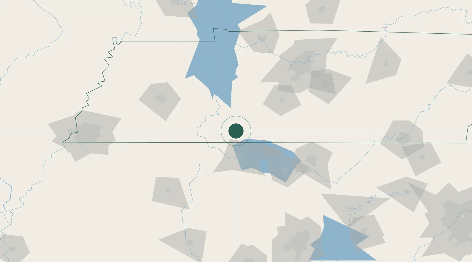
Collinwood
35.1667°, -87.7333°
973
Population
2
Transport functions
Transport Functions
Rail
Road
Hub Profile
Place type
Populated place
Region
Tennessee
Population
973
Time zone
America/Chicago
Elevation
323 m
Location
Nearby Logistics Neighbours
Cities
- 1Houston18 km
- 2Clifton33 km
- 3Leoma35 km
- 4Priceville38 km
- 5Ethridge43 km
Ports
- 1Port Of Memphis222 km
- 2Mobile500 km
- 3Pensacola532 km
- 4Pascagoula541 km
- 5Biloxi543 km
Airports
Trade Zones
DatabookThe Record of Consolidated Knowledge
United States beyond logistics?