Transport Functions
Road
Multimodal
Hub Profile
Place type
Populated place
Region
Louisiana
Population
979
Time zone
America/Chicago
Elevation
26 m
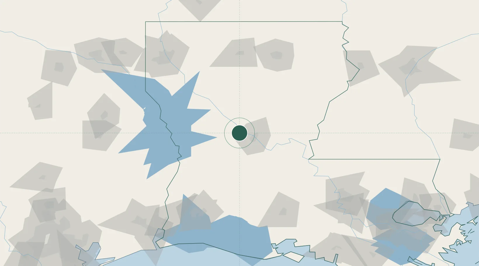
Location
Nearby Logistics Neighbours
Cities
- 1Lena13 km
- 2Winnfield59 km
- 3Jena60 km
- 4Hessmer64 km
- 5Marksville66 km
Ports
- 1Lake Charles141 km
- 2Baton Rouge176 km
- 3Orange177 km
- 4Port Neches197 km
- 5Beaumont198 km
Airports
Trade Zones
- 1FTZ No. 087 Lake Charles148 km
- 2FTZ No. 145 Shreveport171 km
- 3FTZ No. 146 Lawrence County171 km
- 4FTZ No. 154 Baton Rouge171 km
- 5FTZ No. 155 Calhoun Victoria Counties171 km
DatabookThe Record of Consolidated Knowledge
United States beyond logistics?