UN/LOCODE hub · United States
USZD4

Hessmer

31.0500°, -92.1167°
780
Population
1
Transport functions

Transport Functions

Multimodal
UN/LOCODE

Hub Profile

Place type
Populated place
GeoNames
Region
Louisiana
GeoNames
Population
780
GeoNames
Time zone
America/Chicago
GeoNames
Elevation
24 m
GeoNames

Location

Location of USZD4
Natural Earth 10m (public domain) · Louisiana · USZD4 · 31.05, -92.12GoogleOSMYandex

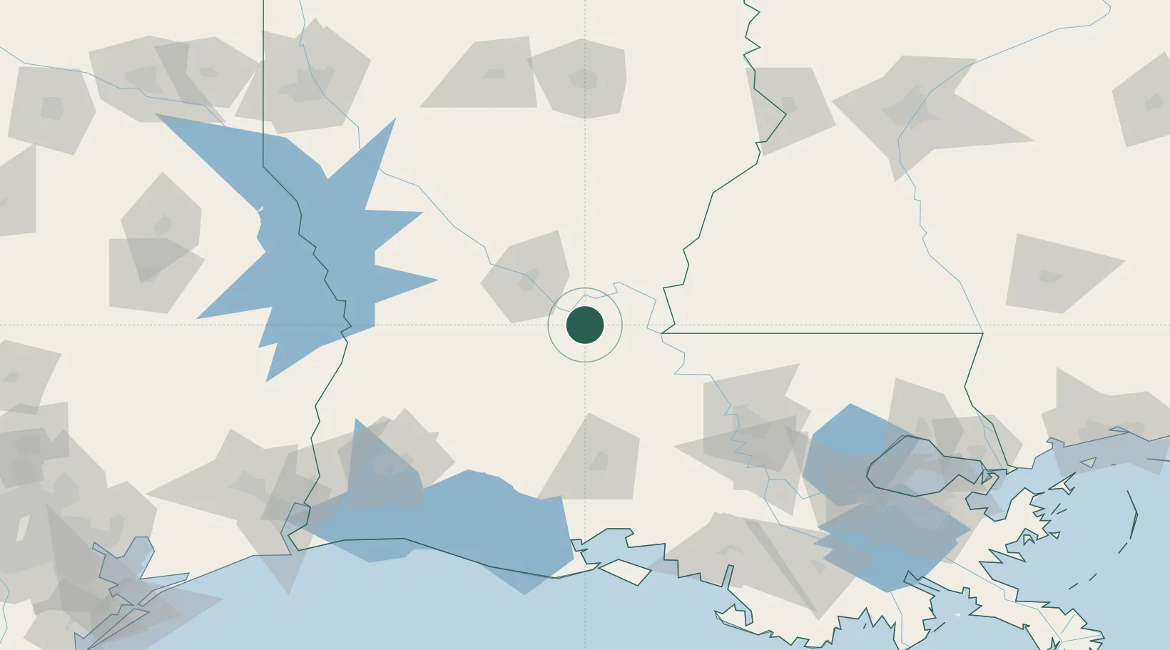
Nearby Logistics Neighbours

Cities
  1. 1Marksville10 km
  2. 2Bunkie13 km
  3. 3Le Moyen31 km
  4. 4Palmetto, Saint Landry42 km
  5. 5Ville Platte44 km
Nearest neighbours — logibook spatial index (haversine) over the source coordinates
Ports
  1. 1Baton Rouge111 km
  2. 2Lake Charles143 km
  3. 3Convent168 km
  4. 4St. James172 km
  5. 5Morgan City173 km
Nearest neighbours — logibook spatial index (haversine) over the source coordinates
Airports
  1. 1Esler Army Airfield / Esler Regional Airport42 km
  2. 2Alexandria International Airport51 km
  3. 3Lafayette Regional Airport95 km
  4. 4Polk Army Air Field102 km
  5. 5Baton Rouge Metropolitan Airport109 km
Nearest neighbours — logibook spatial index (haversine) over the source coordinates
Trade Zones
  1. 1FTZ No. 154 Baton Rouge107 km
  2. 2FTZ No. 155 Calhoun Victoria Counties107 km
  3. 3FTZ No. 087 Lake Charles152 km
  4. 4FTZ No. 124 Gramercy174 km
  5. 5FTZ No. 158 Vicksburg Jackson189 km
Nearest neighbours — logibook spatial index (haversine) over the source coordinates
DatabookThe Record of Consolidated Knowledge
United States beyond logistics?
Browse databook

All Sources

LocationsUN/LOCODE
UN/LOCODE — free
LocationsGeoNames
CC BY 4.0
Portsthe NGA World Port Index
Public domain (US gov)
AirportsOurAirports
Public domain
Trade Zonesthe World Bank SEZ database
CC BY 4.0
Trade ZonesOpen Zone Map
CC BY
← United States locations