UN/LOCODE hub · United States
USZEK
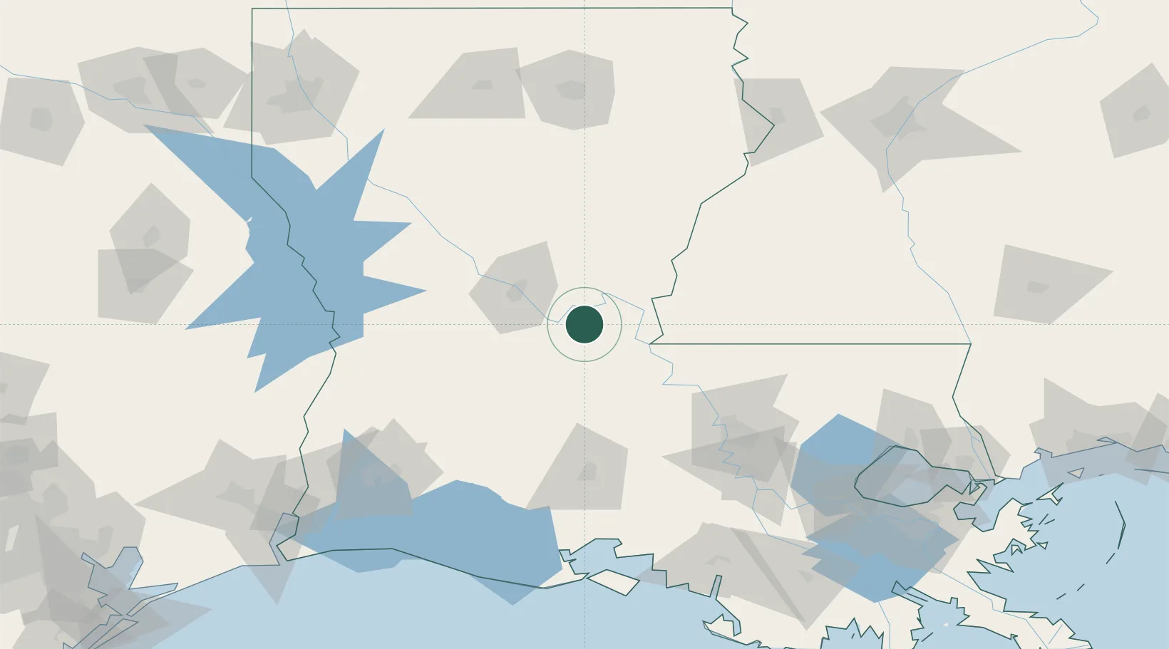
Marksville
31.1167°, -92.0500°
5,533
Population
3
Transport functions
Transport Functions
Rail
Road
Multimodal
Hub Profile
Place type
Provincial seat
Region
Louisiana
Population
5,533
Time zone
America/Chicago
Elevation
25 m
Location
Nearby Logistics Neighbours
Cities
- 1Hessmer10 km
- 2Bunkie23 km
- 3Le Moyen37 km
- 4Palmetto, Saint Landry46 km
- 5Angola50 km
Ports
- 1Baton Rouge111 km
- 2Lake Charles152 km
- 3Convent169 km
- 4St. James172 km
- 5Morgan City177 km
Airports
Trade Zones
- 1FTZ No. 154 Baton Rouge107 km
- 2FTZ No. 155 Calhoun Victoria Counties107 km
- 3FTZ No. 087 Lake Charles162 km
- 4FTZ No. 124 Gramercy174 km
- 5FTZ No. 158 Vicksburg Jackson179 km
DatabookThe Record of Consolidated Knowledge
United States beyond logistics?