UN/LOCODE hub · United States
USWFN
Winnfield
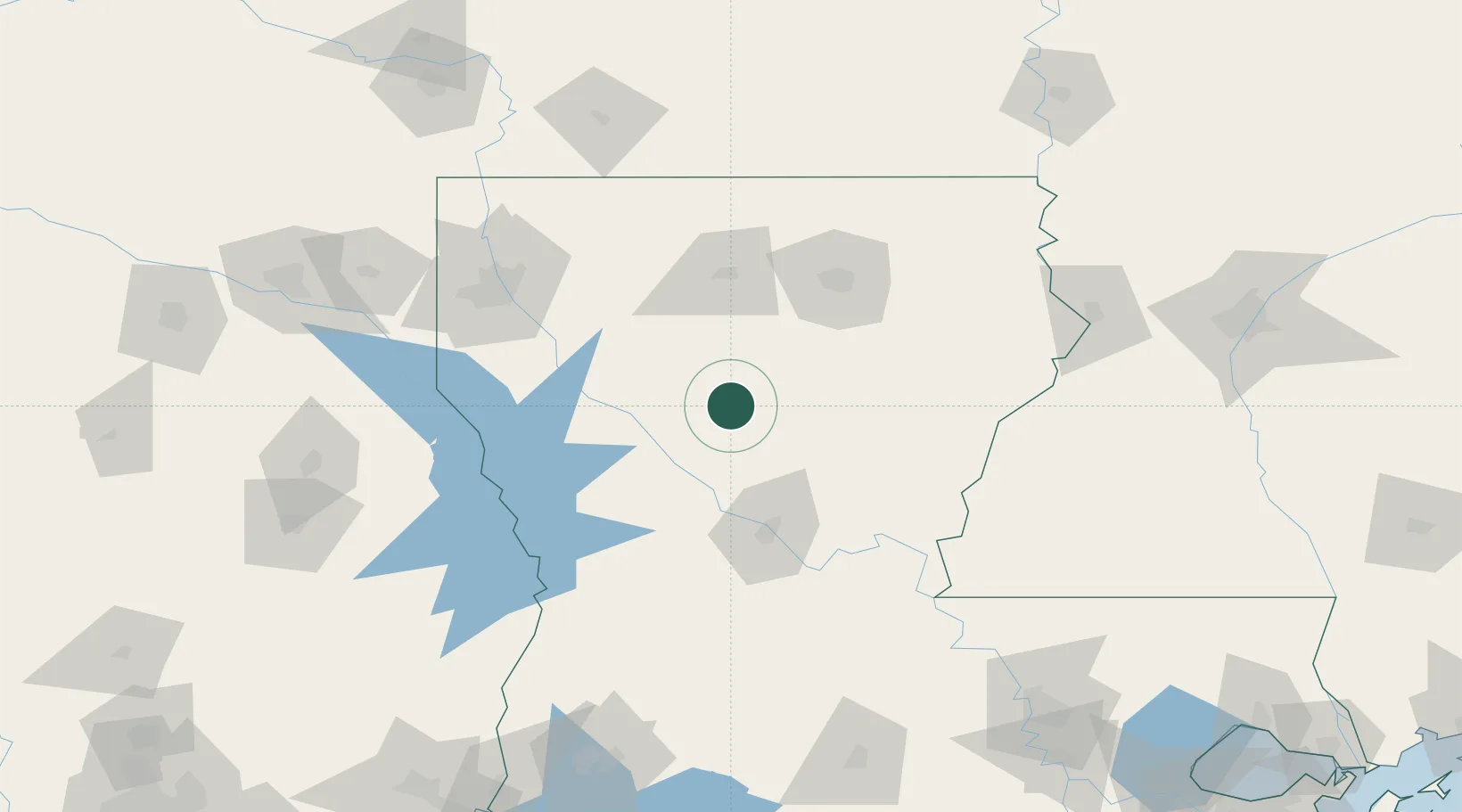
31.9167°, -92.6333°
4,565
Population
2
Transport functions
Transport Functions
Rail
Road
Hub Profile
Place type
Provincial seat
Region
Louisiana
Population
4,565
Time zone
America/Chicago
Elevation
39 m
Location
Nearby Logistics Neighbours
Ports
- 1Lake Charles198 km
- 2Baton Rouge214 km
- 3Orange229 km
- 4Beaumont246 km
- 5Port Neches247 km
Airports
Trade Zones
- 1FTZ No. 145 Shreveport138 km
- 2FTZ No. 146 Lawrence County138 km
- 3FTZ No. 158 Vicksburg Jackson179 km
- 4FTZ No. 087 Lake Charles203 km
- 5FTZ No. 154 Baton Rouge210 km
DatabookThe Record of Consolidated Knowledge
United States beyond logistics?