Medium airport · United States

Polk Army Air FieldKPOE
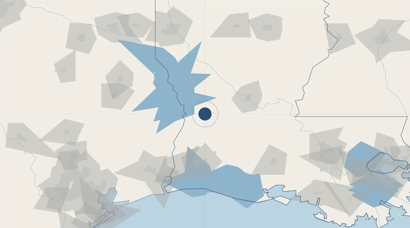
31.0448°, -93.1917°
4,109 ft
Longest runway
1
Runways
330 ft
Elevation

Runway & Layout

Polk Army Air Field runway & taxiway layout
Runway & taxiway layout — OpenStreetMap (ODbL) / OurAirports

Radio Frequencies

ATIS
134.85 MHz
TWR
41.5 MHz
GND
121.8 MHz
A/D
123.7 MHz
APP/DEP
FCC
123.7 MHz
FLT FOLLOWING
INFO
40.95 MHz
RANGE CON
MISC
42.5 MHz
MEDEVAC OPS
OPS
36.05 MHz
POE OPS
PMSV
135 MHz
PMSV METRO
OurAirports

Navaids

FXU VORTAC Polk 108.40 MHz
GUV NDB Gator 359 kHz
OurAirports

Runways · 1

RunwayDimensions SurfaceTrue headingLit
15/33 4,109 × 125ft Asphalt 160°
OurAirports

Airport Specifications

IATA code
POE
OurAirports
ICAO code
KPOE
OurAirports
Airport class
Medium airport
OurAirports
Scheduled service
No
OurAirports
Runway surface
Asphalt
OurAirports
Served city
Fort Polk
OurAirports

Location

Location of KPOE
Natural Earth 10m (public domain) · Louisiana · KPOE · 31.04, -93.19GoogleOSMYandex

Nearby Logistics Neighbours

Airports
  1. 1Beauregard Regional Airport28 km
  2. 2Alexandria International Airport69 km
  3. 3Esler Army Airfield / Esler Regional Airport94 km
  4. 4Lake Charles Regional Airport102 km
  5. 5Jack Brooks Regional Airport145 km
Nearest neighbours — logibook spatial index (haversine) over the source coordinates
Cities
  1. 1Singer49 km
  2. 2Florien51 km
  3. 3Lena62 km
  4. 4Boyce63 km
  5. 5Many64 km
Nearest neighbours — logibook spatial index (haversine) over the source coordinates
Ports
  1. 1Lake Charles92 km
  2. 2Orange119 km
  3. 3Beaumont137 km
  4. 4Port Neches137 km
  5. 5Port Arthur154 km
Nearest neighbours — logibook spatial index (haversine) over the source coordinates
Trade Zones
  1. 1FTZ No. 087 Lake Charles96 km
  2. 2FTZ No. 117 Orange121 km
  3. 3FTZ No. 291 Cameron Parish144 km
  4. 4FTZ No. 115 Beaumont144 km
  5. 5FTZ No. 297 Lufkin156 km
Nearest neighbours — logibook spatial index (haversine) over the source coordinates
DatabookThe Record of Consolidated Knowledge
United States beyond logistics?
Browse databook

All Sources

AirportsOurAirports
Public domain
Portsthe NGA World Port Index
Public domain (US gov)
LocationsUN/LOCODE
UN/LOCODE — free
Trade Zonesthe World Bank SEZ database
CC BY 4.0
Trade ZonesOpen Zone Map
CC BY
InfrastructureOpenStreetMap
ODbL 1.0
← United States airports