Transport Functions
Rail
Road
Hub Profile
Place type
Populated place
Region
Louisiana
Time zone
America/Chicago
Elevation
41 m
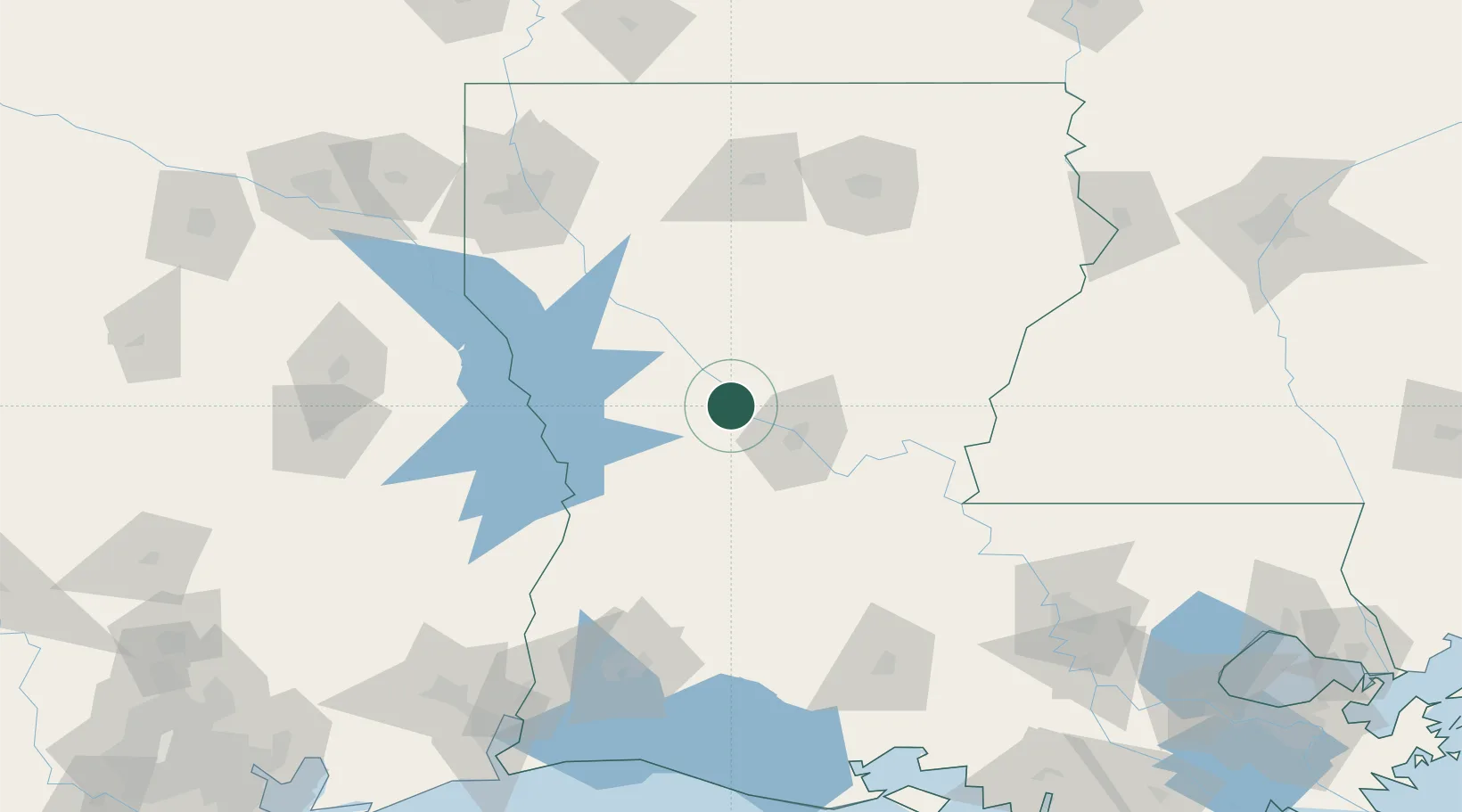
Location
Nearby Logistics Neighbours
Ports
- 1Lake Charles147 km
- 2Orange179 km
- 3Baton Rouge189 km
- 4Port Neches199 km
- 5Beaumont199 km
Airports
Trade Zones
- 1FTZ No. 087 Lake Charles152 km
- 2FTZ No. 145 Shreveport157 km
- 3FTZ No. 146 Lawrence County157 km
- 4FTZ No. 117 Orange182 km
- 5FTZ No. 154 Baton Rouge184 km
DatabookThe Record of Consolidated Knowledge
United States beyond logistics?