Transport Functions
Rail
Road
Multimodal
Hub Profile
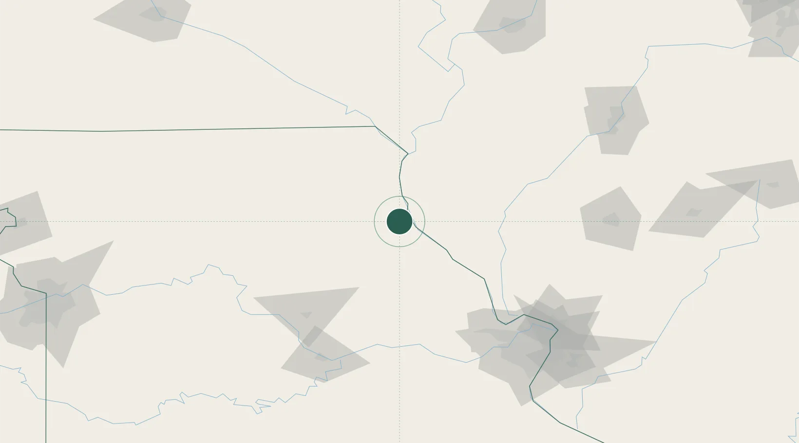
Place type
Provincial seat
Region
Missouri
Population
3,616
Time zone
America/Chicago
Elevation
195 m
Location
Nearby Logistics Neighbours
Cities
- 1Marblehead14 km
- 2New London24 km
- 3La Grange30 km
- 4Columbus38 km
- 5Barry43 km
Ports
- 1Calumet Harbor401 km
- 2Indiana Harbor403 km
- 3Chicago404 km
- 4Gary407 km
- 5Wilmette411 km
Airports
Trade Zones
- 1FTZ No. 055 Burlington120 km
- 2FTZ No. 102 St. Louis County145 km
- 3FTZ No. 031 Granite City162 km
- 4FTZ No. 114 Peoria193 km
- 5FTZ No. 245 Decatur210 km
DatabookThe Record of Consolidated Knowledge
United States beyond logistics?