Transport Functions
Road
Multimodal
Hub Profile
Place type
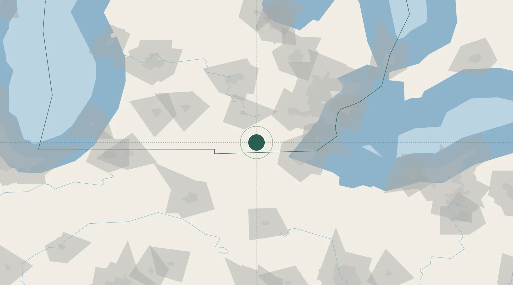
Populated place
Region
Michigan
Population
339
Time zone
America/Detroit
Elevation
273 m
Location
Nearby Logistics Neighbours
Cities
- 1Weston16 km
- 2Onsted17 km
- 3Osseo27 km
- 4Alvordton28 km
- 5Holiday City37 km
Ports
- 1Toledo66 km
- 2Monroe75 km
- 3Trenton94 km
- 4Wyandotte98 km
- 5Amherstburg98 km
Airports
Trade Zones
- 1FTZ No. 008 Toledo62 km
- 2FTZ No. 070 Detroit99 km
- 3FTZ No. 151 Findlay100 km
- 4FTZ No. 043 Battle Creek102 km
- 5Windsor - Essex Foreign Trade Zone112 km
DatabookThe Record of Consolidated Knowledge
United States beyond logistics?