UN/LOCODE hub · United States
USPOJ
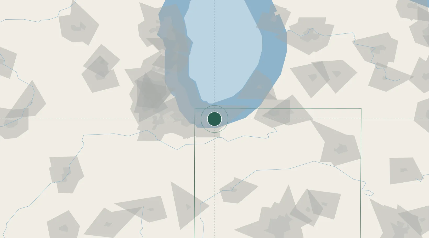
Portage
41.5833°, -87.2000°
36,738
Population
3
Transport functions
Transport Functions
Port
Rail
Road
Hub Profile
Place type
Populated place
Region
Indiana
Population
36,738
Time zone
America/Chicago
Elevation
194 m
Location
Nearby Logistics Neighbours
Cities
- 1Lake Station2 km
- 2Burns Harbor7 km
- 3Chesterton12 km
- 4Saint John27 km
- 5Dyer27 km
Ports
- 1Gary12 km
- 2Indiana Harbor22 km
- 3Michigan City30 km
- 4Calumet Harbor31 km
- 5Chicago47 km
Airports
Trade Zones
- 1FTZ No. 152 Burns Harbor6 km
- 2FTZ No. 022 Chicago62 km
- 3FTZ No. 125 South Bend72 km
- 4FTZ No. 292 Lake County100 km
- 5FTZ No. 182 Fort Wayne169 km
DatabookThe Record of Consolidated Knowledge
United States beyond logistics?