UN/LOCODE hub · United States
USLKT
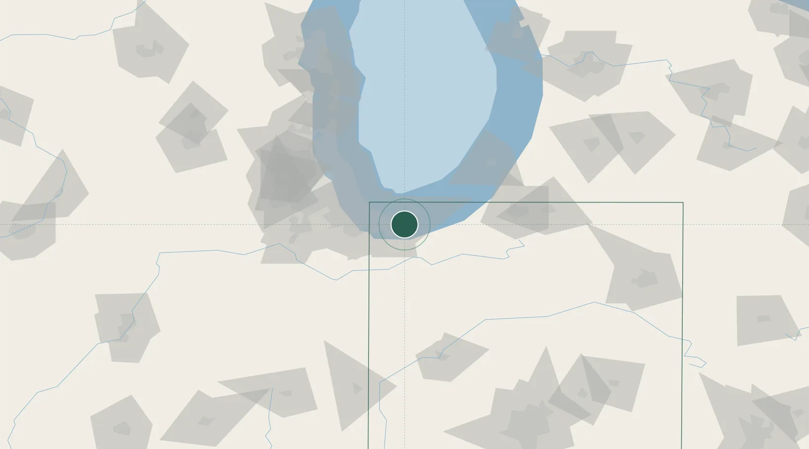
Lake Station
41.5667°, -87.2167°
12,054
Population
2
Transport functions
Transport Functions
Road
Multimodal
Hub Profile
Place type
Populated place
Region
Indiana
Population
12,054
Time zone
America/Chicago
Elevation
189 m
Location
Nearby Logistics Neighbours
Cities
- 1Portage2 km
- 2Burns Harbor9 km
- 3Chesterton14 km
- 4Saint John25 km
- 5Dyer25 km
Ports
- 1Gary11 km
- 2Indiana Harbor21 km
- 3Calumet Harbor31 km
- 4Michigan City32 km
- 5Chicago48 km
Airports
Trade Zones
- 1FTZ No. 152 Burns Harbor8 km
- 2FTZ No. 022 Chicago62 km
- 3FTZ No. 125 South Bend73 km
- 4FTZ No. 292 Lake County101 km
- 5FTZ No. 182 Fort Wayne170 km
DatabookThe Record of Consolidated Knowledge
United States beyond logistics?